


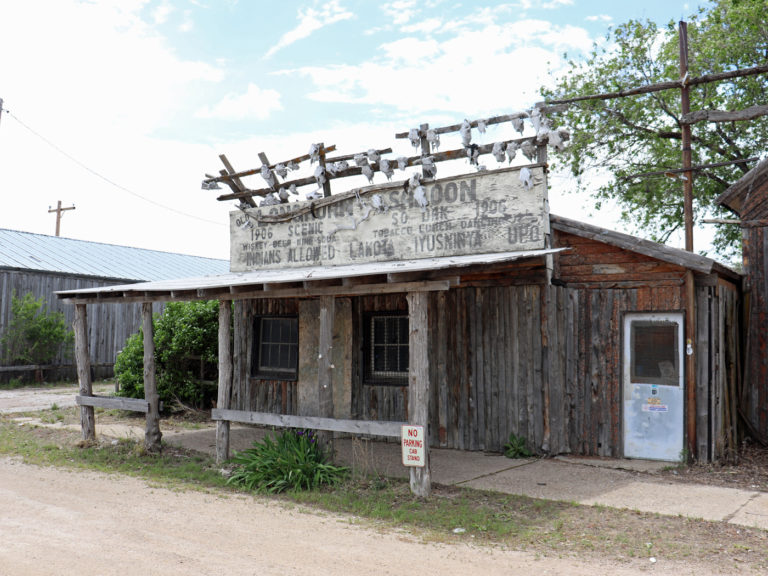
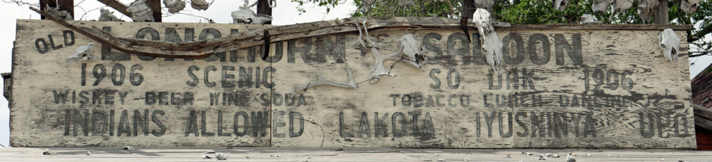


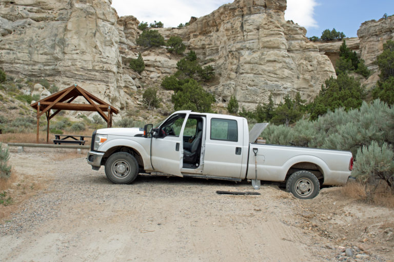


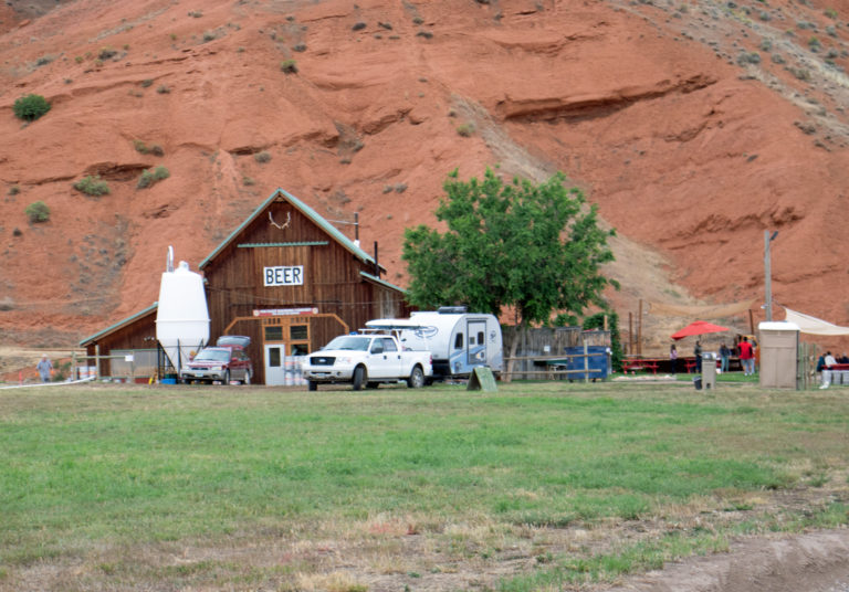
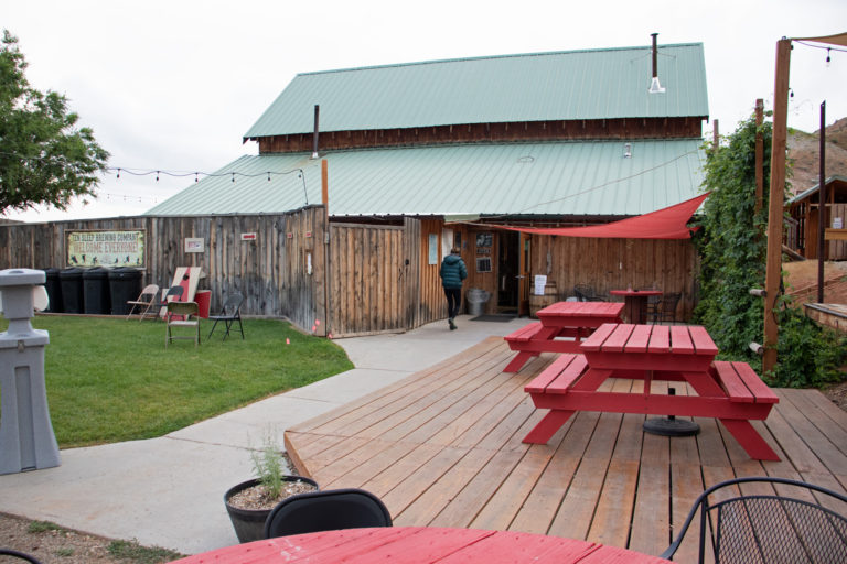
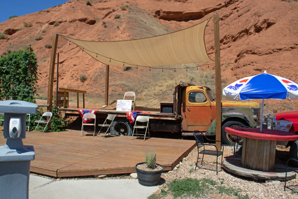

The flatbed of this old truck provides the stage for musical events. Note the sanitizer stand at the left.
And the beers are excellent.
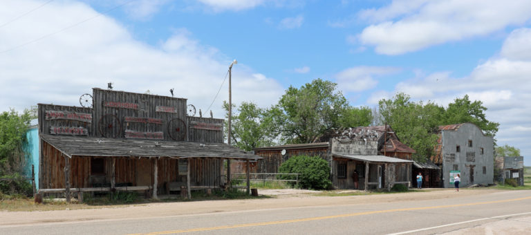
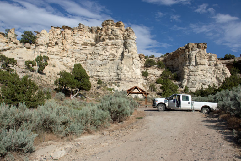
This brewery cannot be duplicated!!!

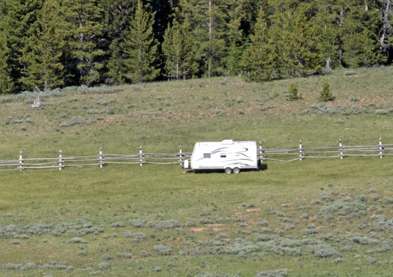
The flatbed of this old truck provides the stage for musical events. Note the sanitizer stand at the left.
And the beers are excellent.
This brewery cannot be duplicated!!!
Oh it’s great to see these photos and your commentary. The fun part is that we see the sunny days and beautiful views without the down times! Starting to feel some of the cool days now in Minnesota – but the colorful trees make up for what is coming next. Continue to ENJOY.
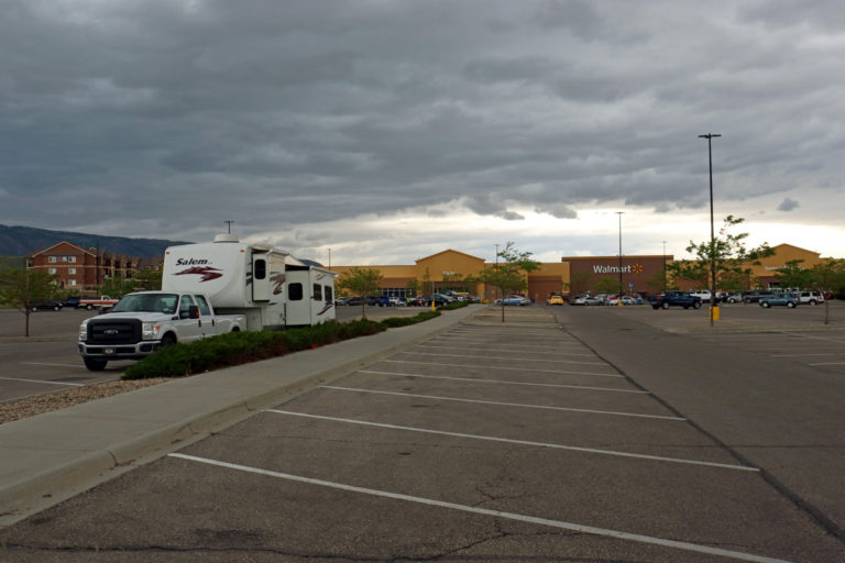
Great photos. Interesting sights. Where are you heading after Idaho?
Enjoying the blog, dialogue, and all the amazing pics!! Jealous of your travels but glad that you are enjoying yourself.
Bob,
I like the trail post. My Preston ancestors came out around 1864 on the Calif. trail.
My first time in Death Valley was 1949. Nice pictures. Glad you are getting around.
Bob Lawrence
Nice tales!
Great photos, great (and informative) commentary! Makes you marvel how pioneers survived, crossing the country in covered wagons. I remember 115 degrees when I visited AZ. You feel like you’re melting.
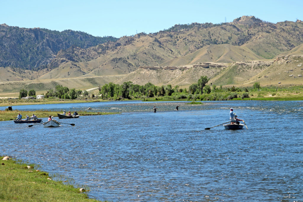
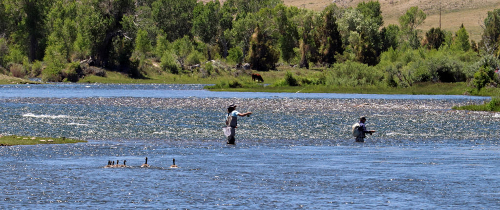
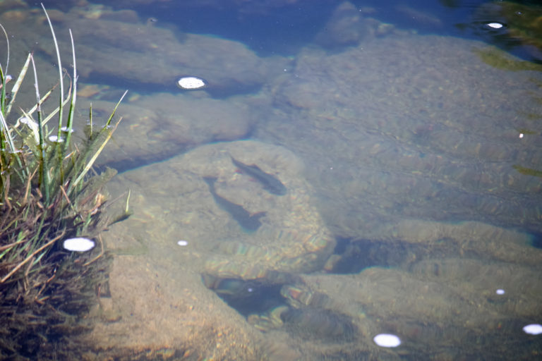
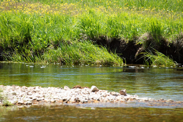
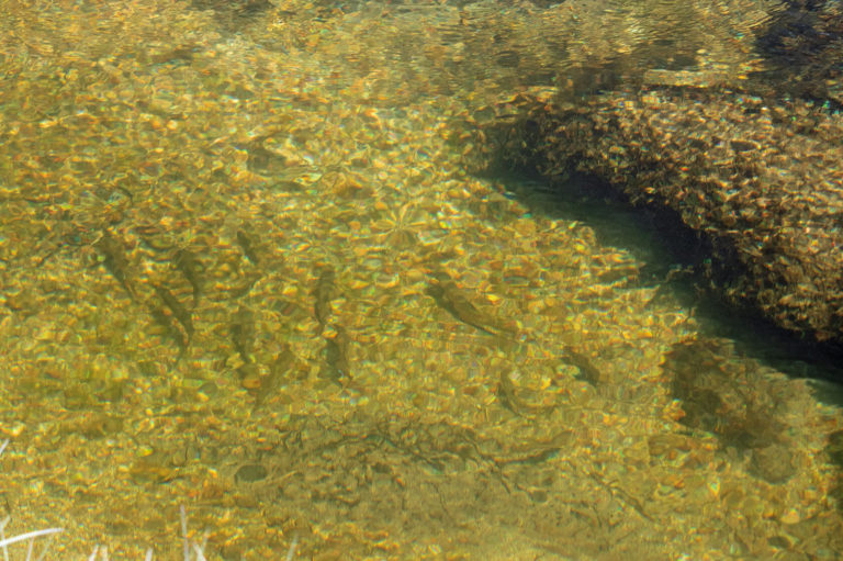
Another fascinating blog Bob. Great photos – especially lucky on the rainbows.
I love reading your posts! You had a day from hell. Glad you got the black tank emergency worked out. That’s important!! The scenery is beautiful and all the “off the grid” tidbits are so interesting. Be safe out there.
Enjoying your blog. I’d normally be in the Med sailing this time of year, but Covid ended that plan. I am racing as often as I can and won a race in 2 of my last 3 weekends.
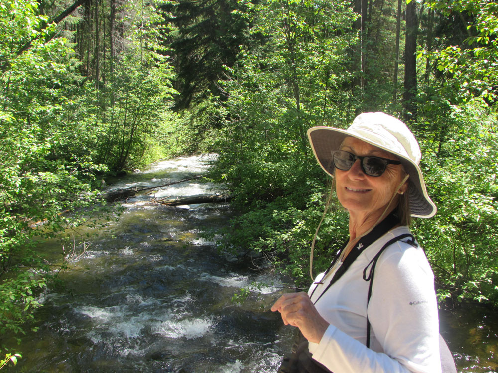
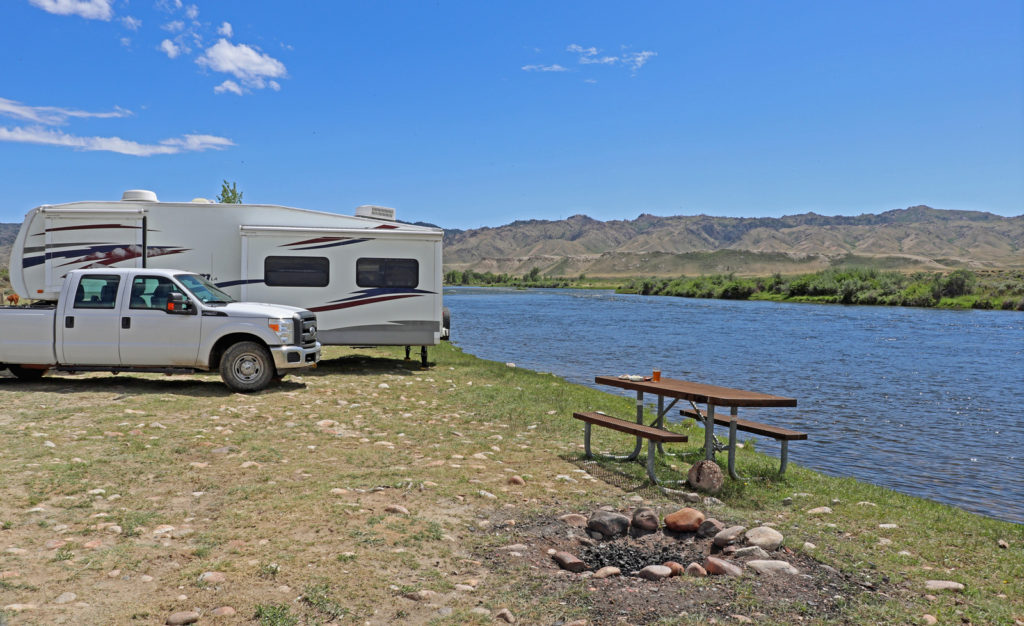
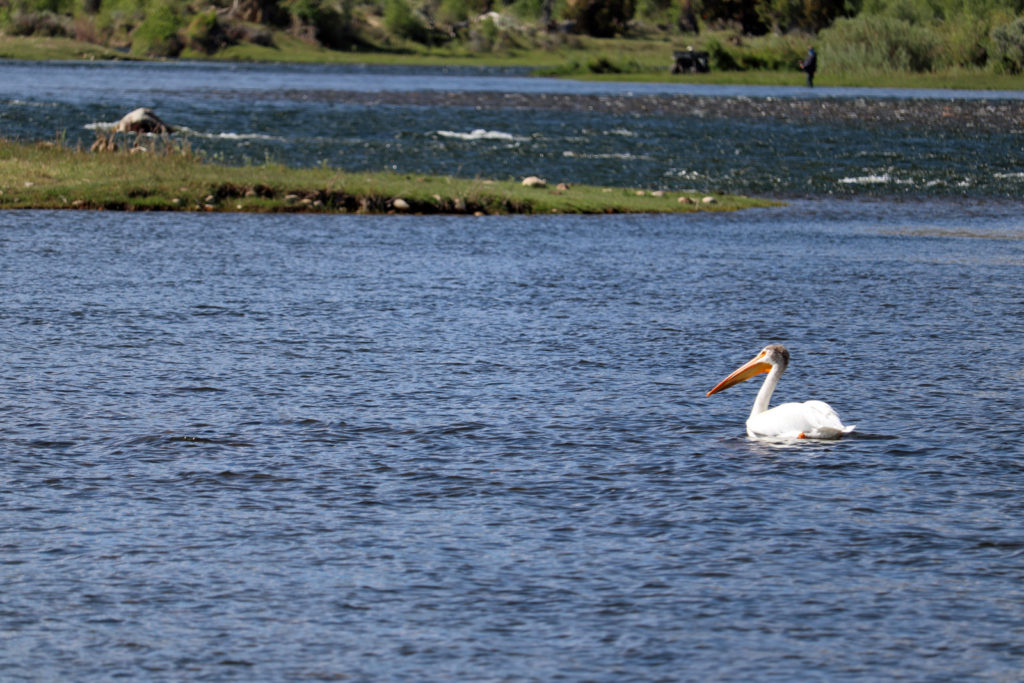
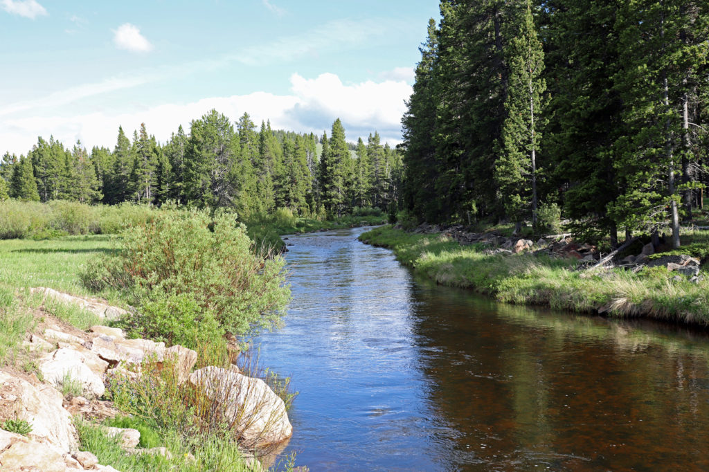
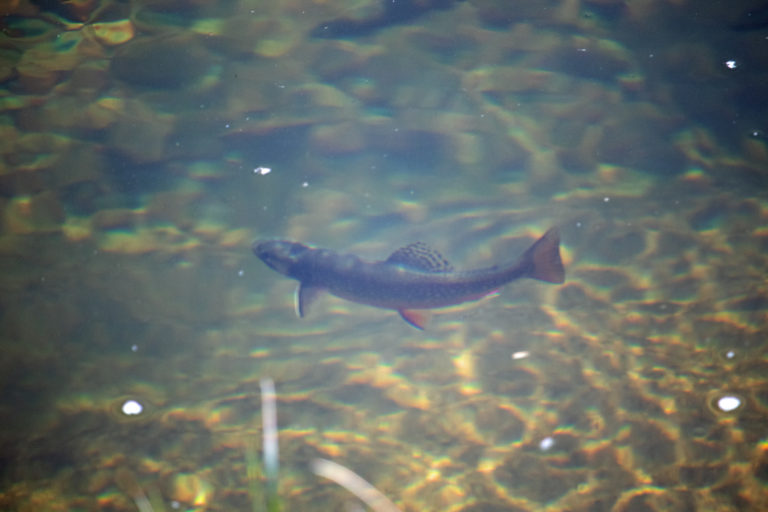
Hi Bob, I’m a friend of Tom and Val Cleaver, who put me into your blog. I’m enjoying it. I’m a fly fisherman and fished the Green out of Pinedale many years ago. There were no fly shops in Pinedale back then (1960s), but I had the name of a guy at the meat packing plant who knew about the fishing. I had some memorable fly fishing thanks to his directions. The thing I remember best is a big bend in the river where the rancher had pushed a line of junker cars in as homemade rip-rap. I floated my fly past one of the cars and a big brown swam out through the car’s window to grab it. In the ensuing fight, the fish broke me off by swimming into another car and back out, wrapping the line around the frame! Have fun, Harry Piper
Harry,
I remember Mary and you from Pine Island days. Hope all is well.
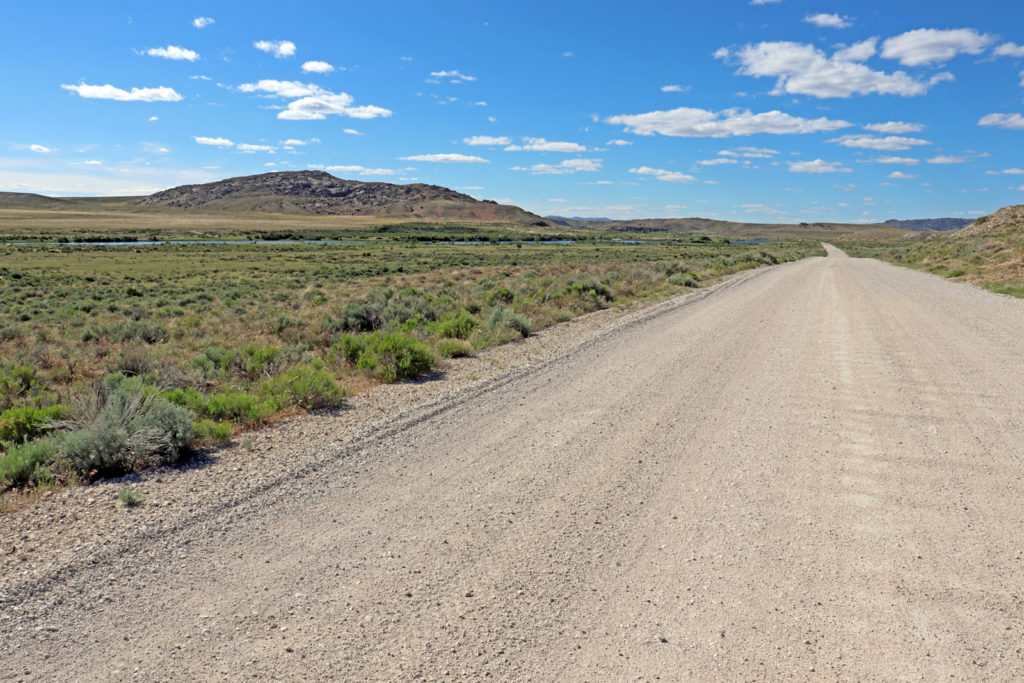
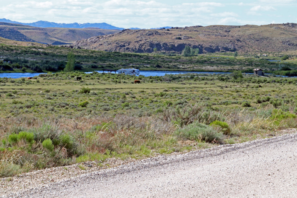
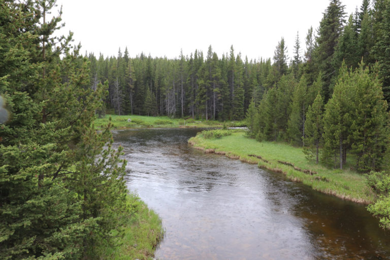
I am still learning places to fish here. Tomorrow I am going to the Big Sandy area for hiking and where apparently there are some creeks to be fished. My favorite so far is the airport access to the New Fork River. Not an especially pretty place but has been fruitful.
Good to hear from you. Say hello to Mary.
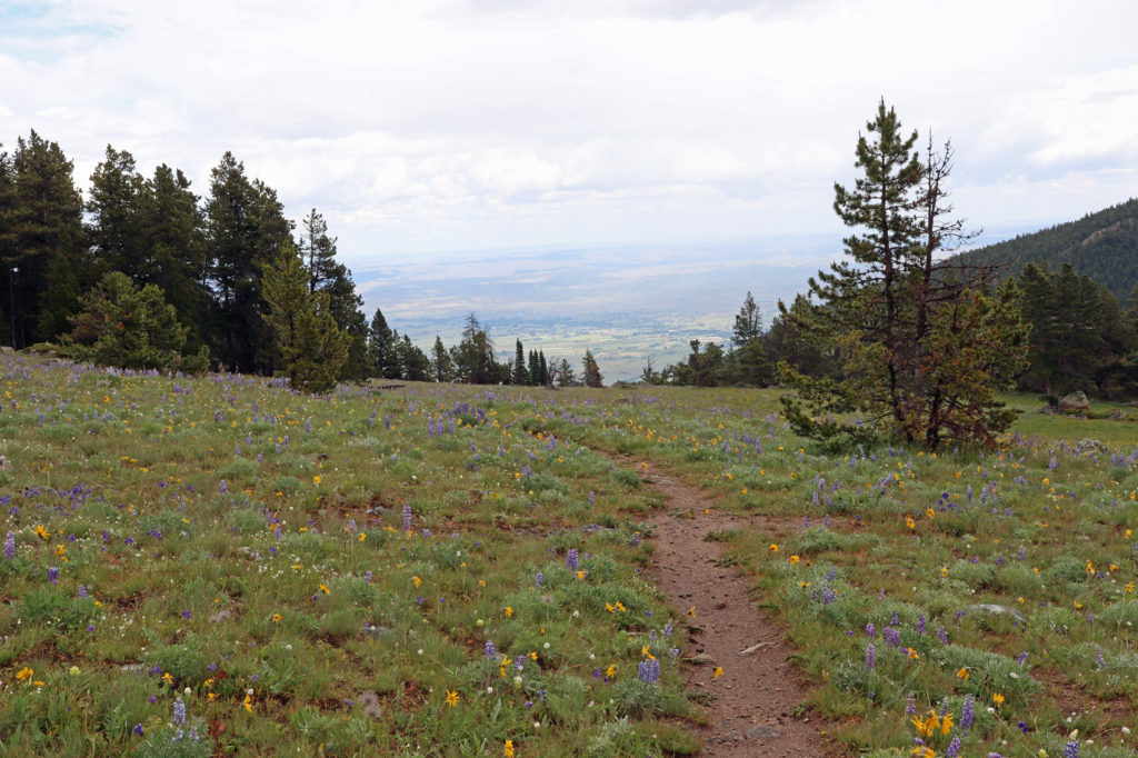
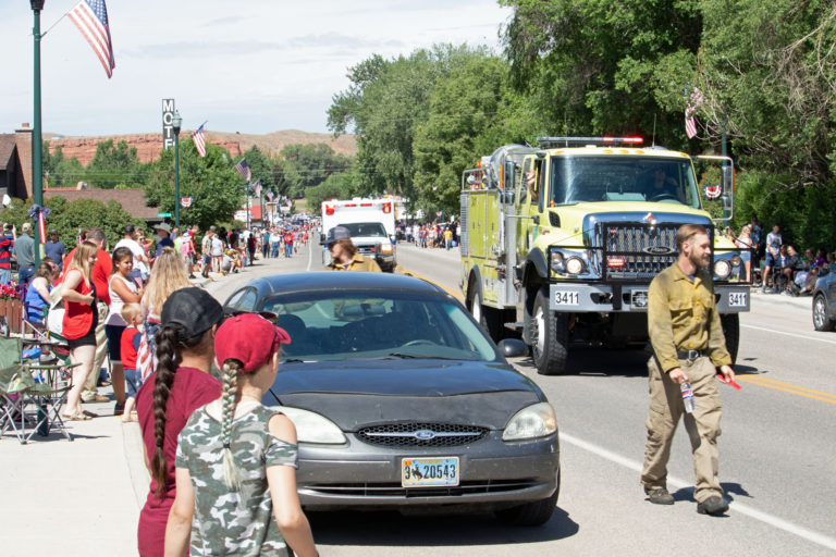
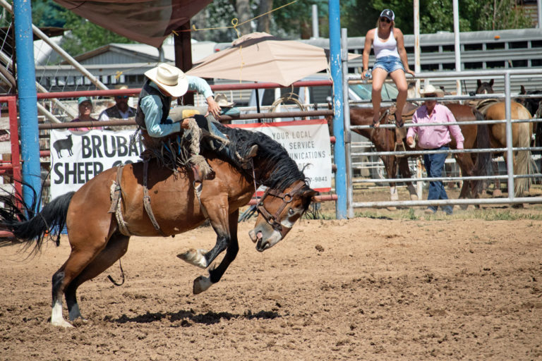
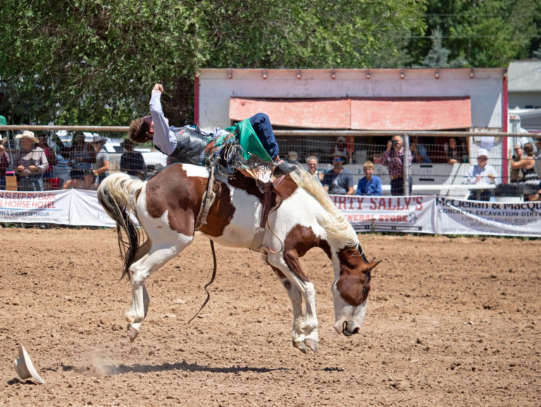
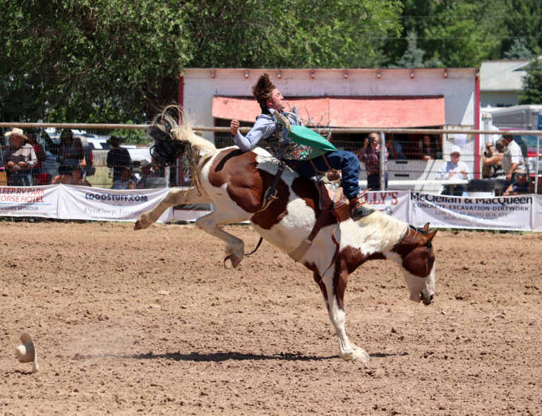
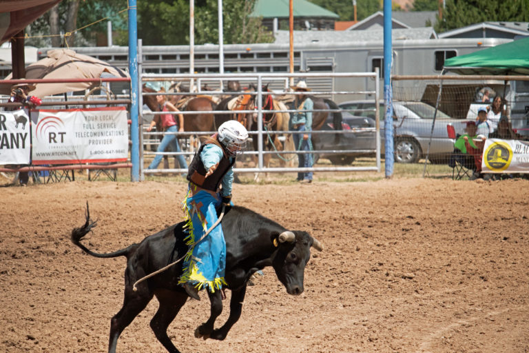
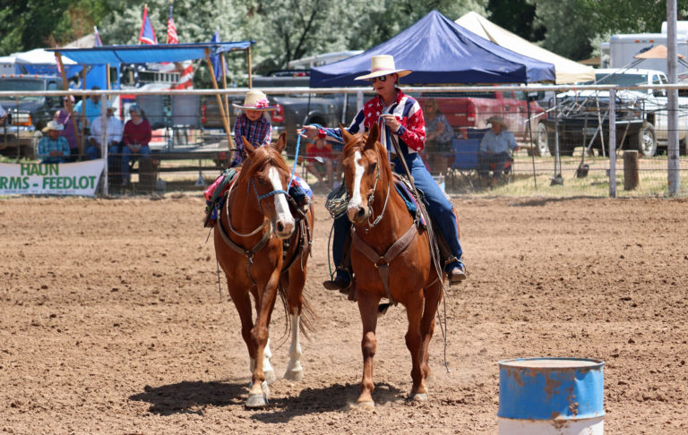
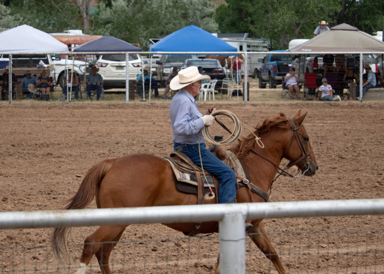
Thoroughly enjoyed Post#7! My favorite thing – other than the stunning rainbows: the cowboy hats in the background of the rodeo pictures! 😊
I only brought 4 of my Western hats with me. Not enough room for the others.
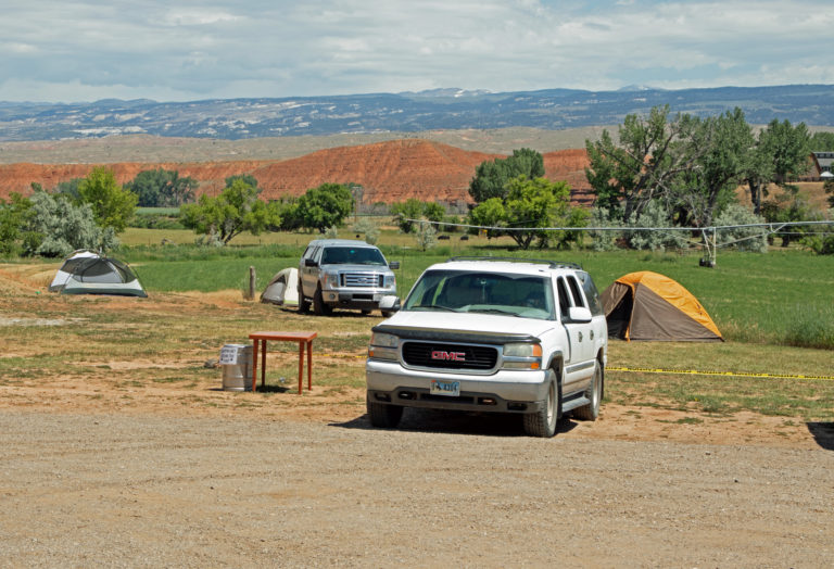
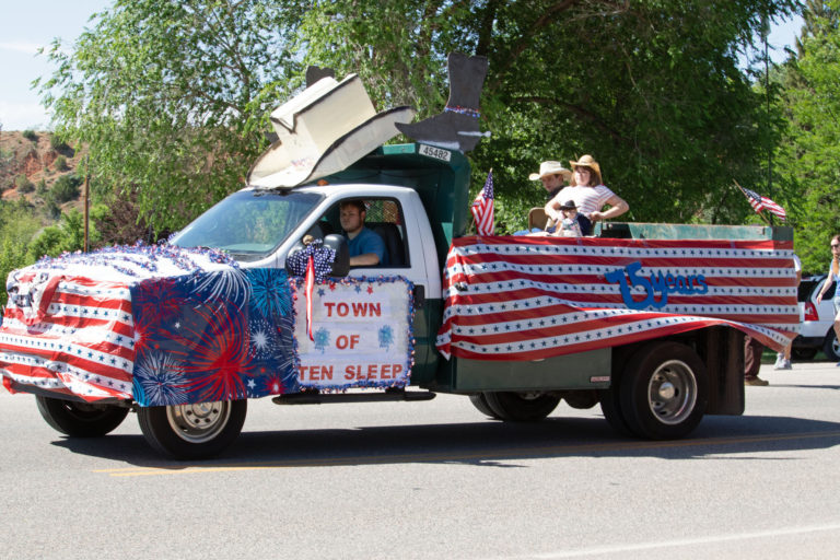
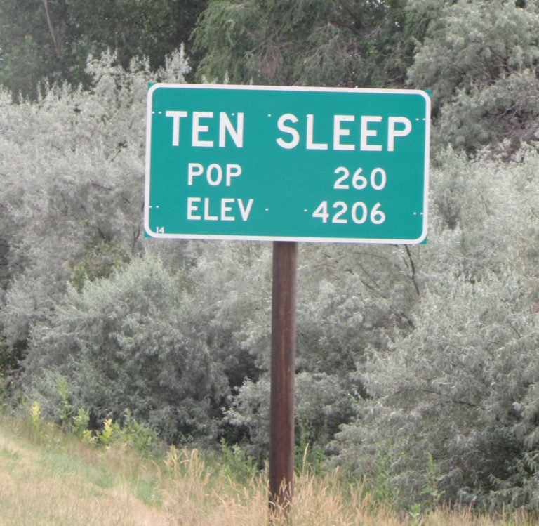
I WANT TO GO TO TEN SLEEP BREWING!!!!!
Just let me know when you want to go!
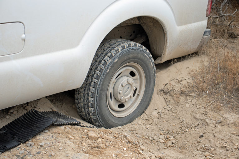
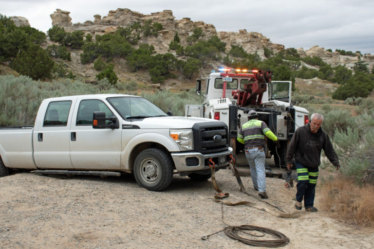
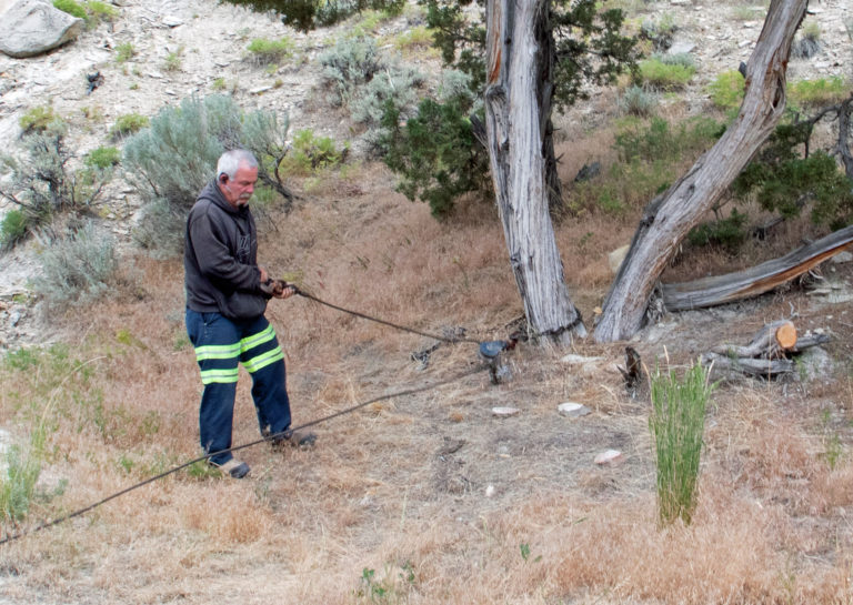
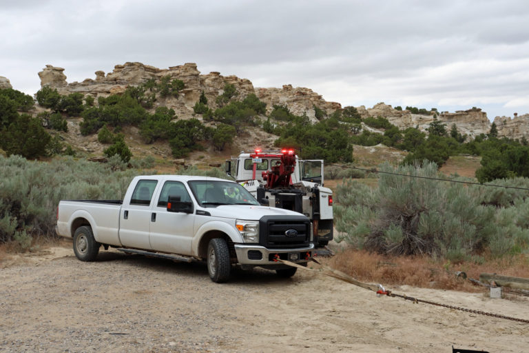
Beautiful scenery and great photos Bob! Kudos to Preston for assisting with your rescue after the unfortunate truck mishap. Just read that US/Canada borders will remain closed to non-essential travel until August 21st. You may just get there yet!
When I hear that you have updated the blog, Bob, it’s like Christmas morning for Valerie and me 😊🎄. Thanks for sharing the scenery and your adventures!
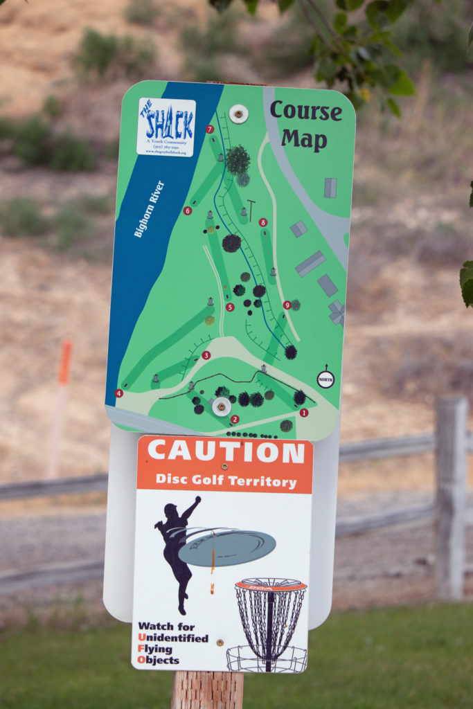
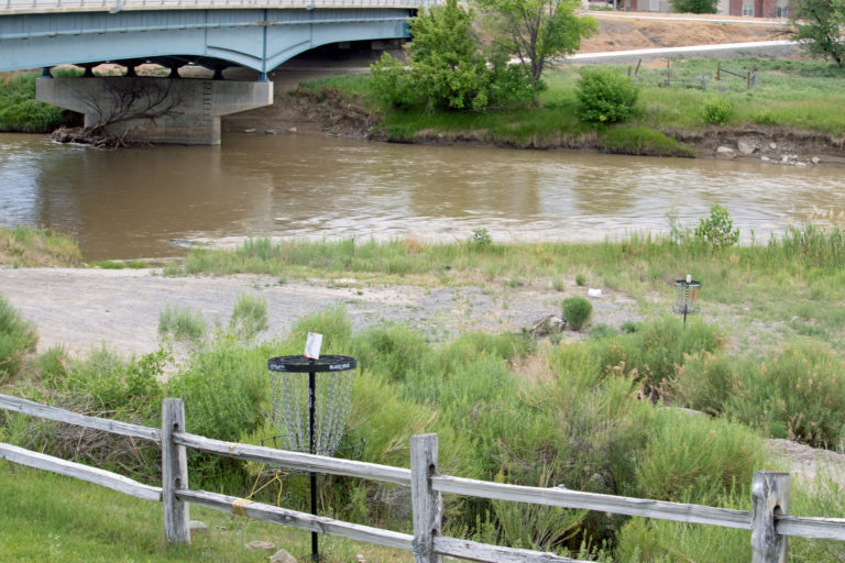
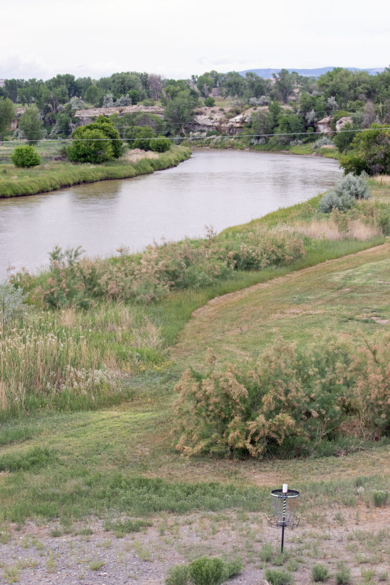
We need to try out the disc golf course!
Just give me a date and I will be there..
Kidding aside, I have been thinking of how to route myself back through Greybull to be able to play that course.
7/2/20
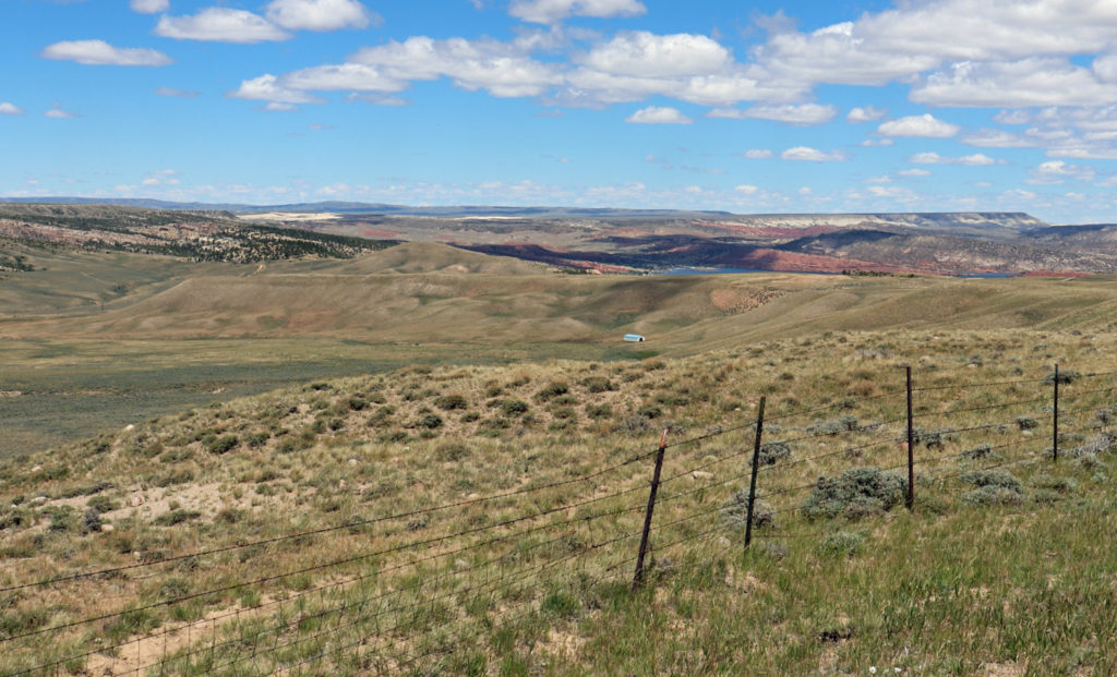
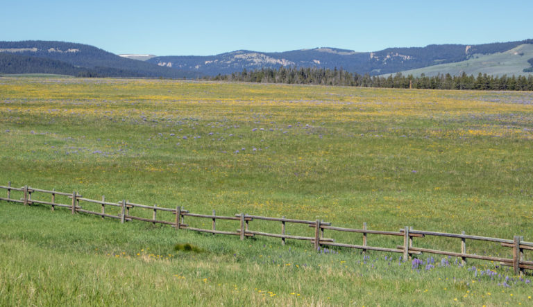
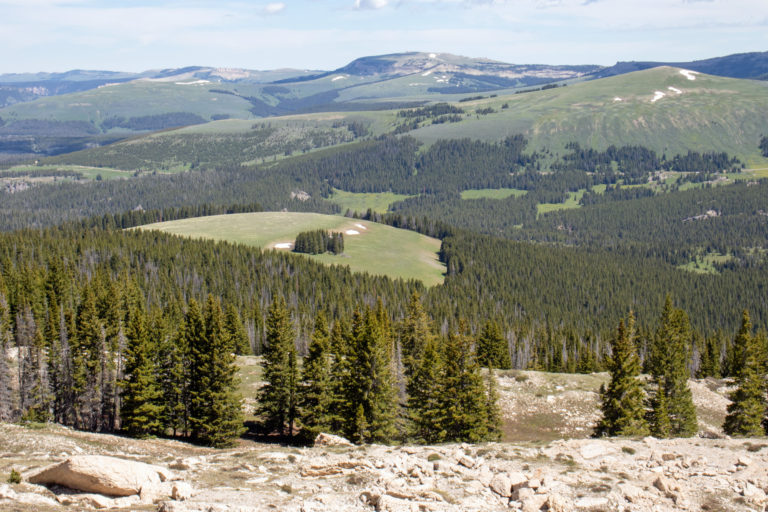
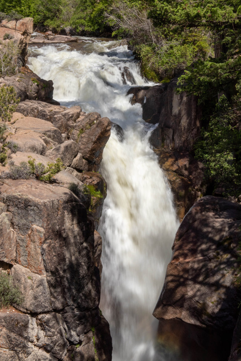
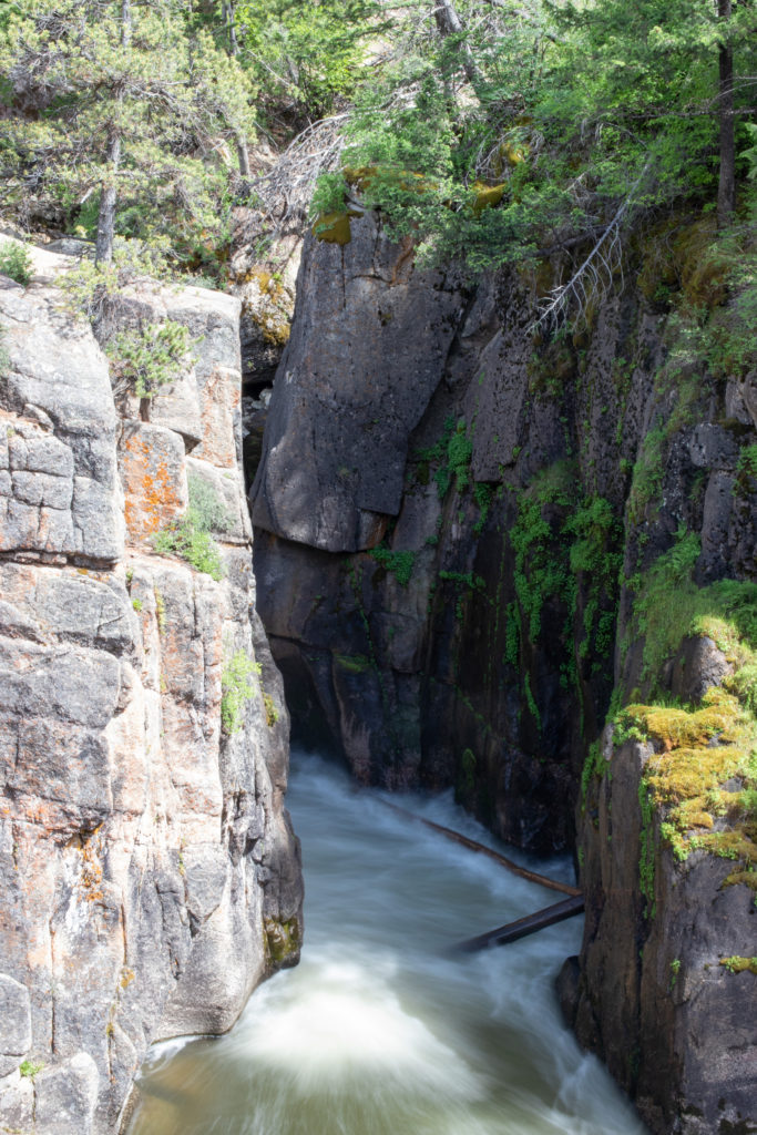
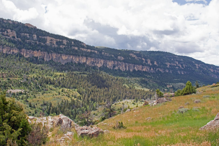
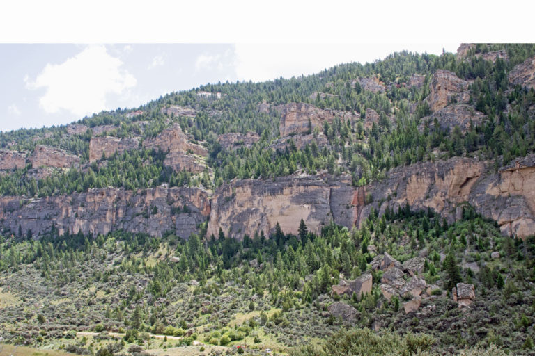
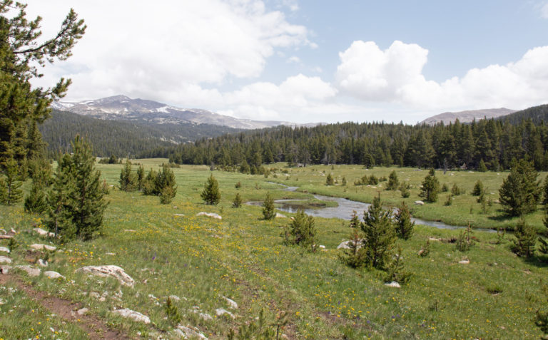
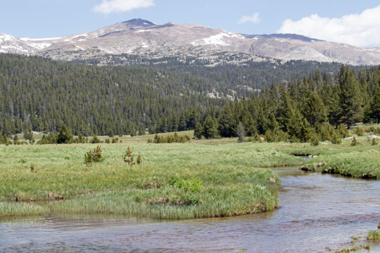
Great Bighorn pix. Loved the waterfall. We are hot as hell here—-days that are “feels like 109’.” Enjoy those 33’ mornings.
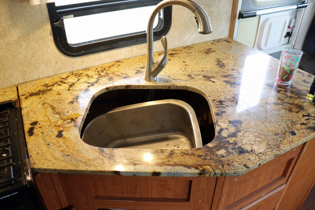
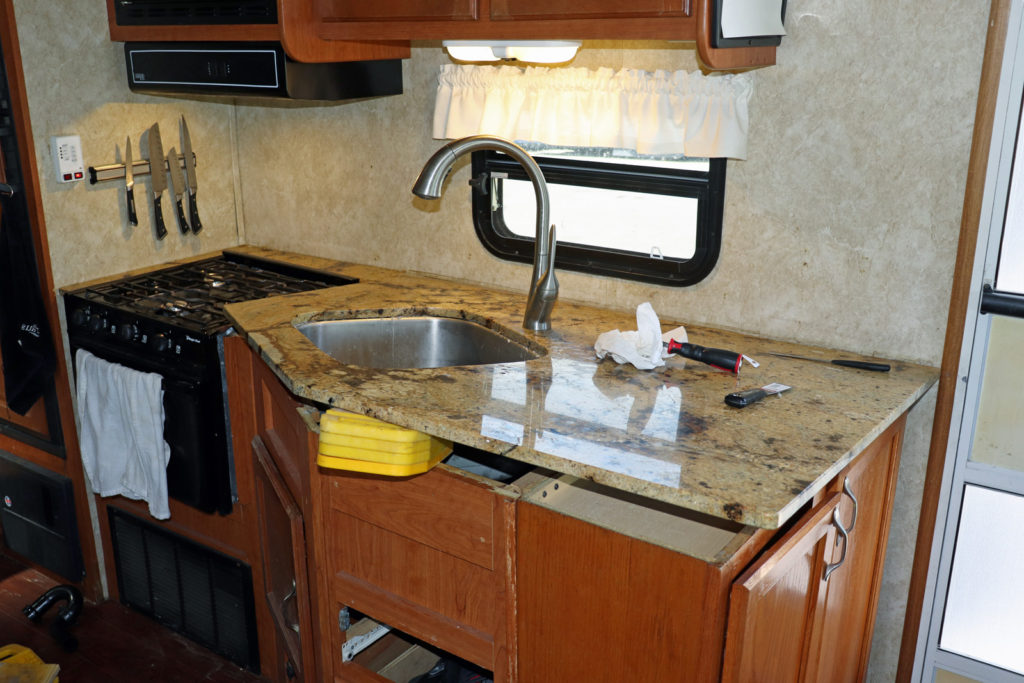
Re the sink and countertop——was it because of the bouncy ride? Good thing you’re handy!
Definitely from the bumpy ride. The countertop was just held on by silicone, which finally gave way. It’s now installed with expoxy. Should hold.
Loved this post Bob. Loved all the interesting educational tidbits, but loved all the funny comments you made even more. Terre😷
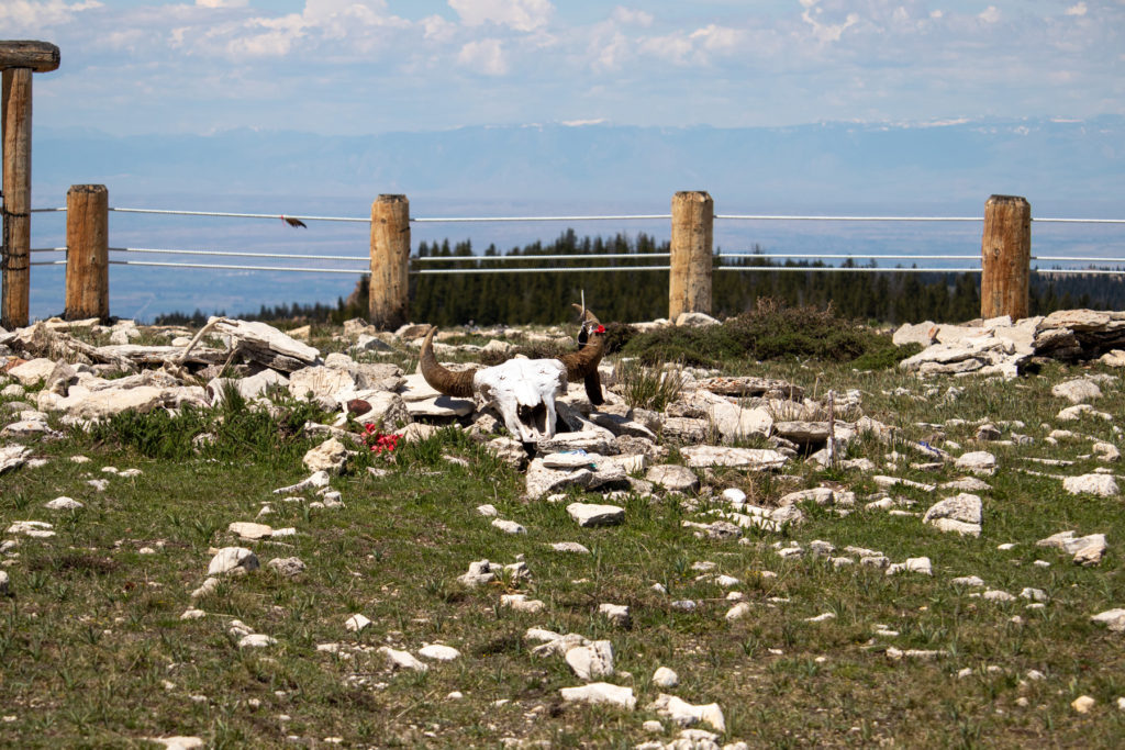
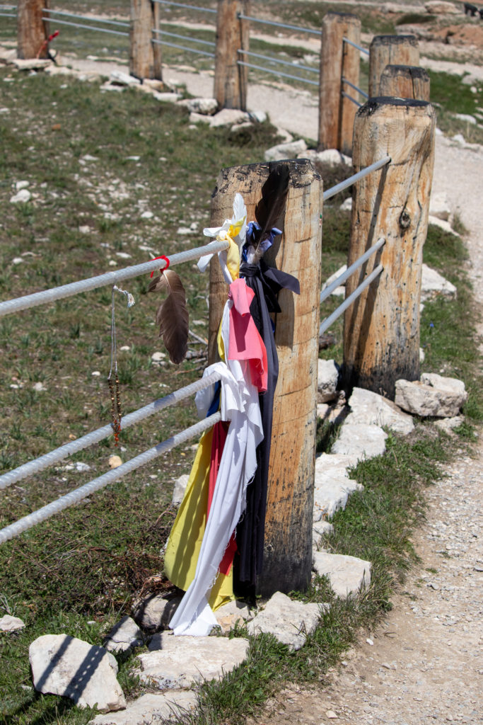
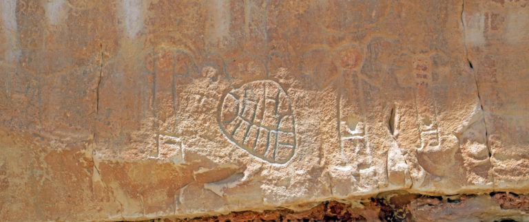
The waterfall and Native American Holy Grounds were particularly impressive. The feathers and ribbons reminded me of what The Cathedral is doing: Prayer Flags hung in park. I’ll email you the one we’re hanging for Diane.
Will you be auditioning for a Wild West Reality Show? Or maybe a cameo on Yellowstone? 😉
Thanks for sharing your trip with us!
☮️
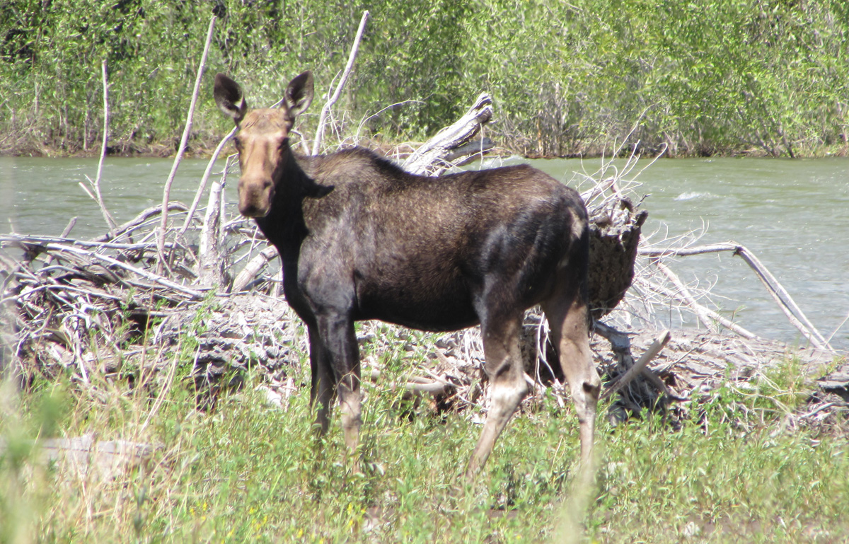
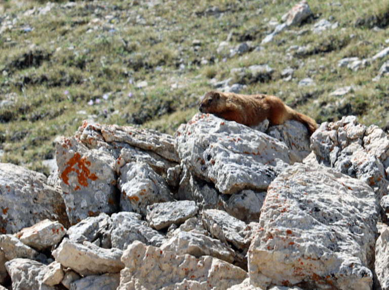
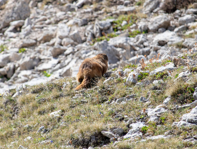
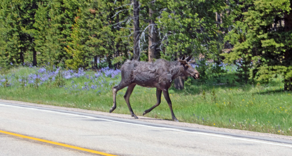
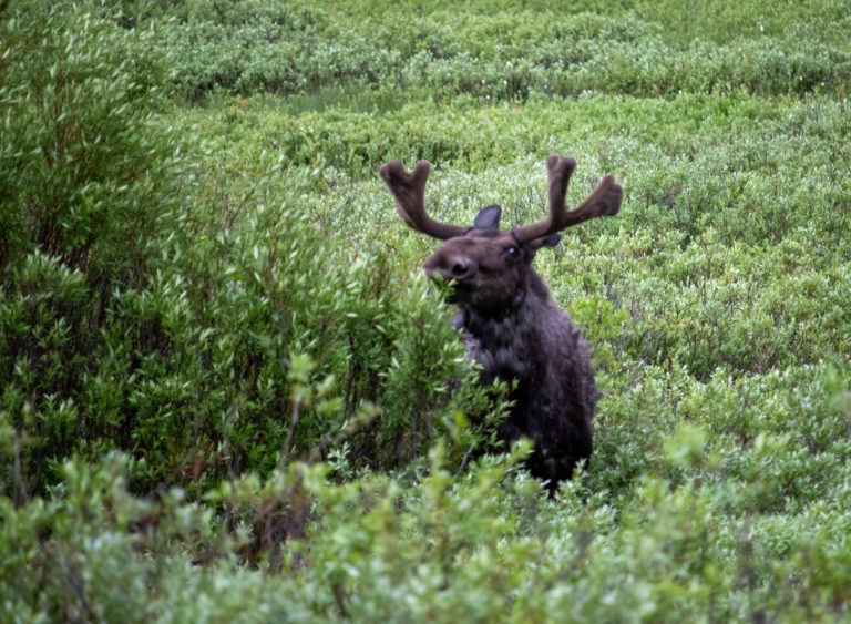
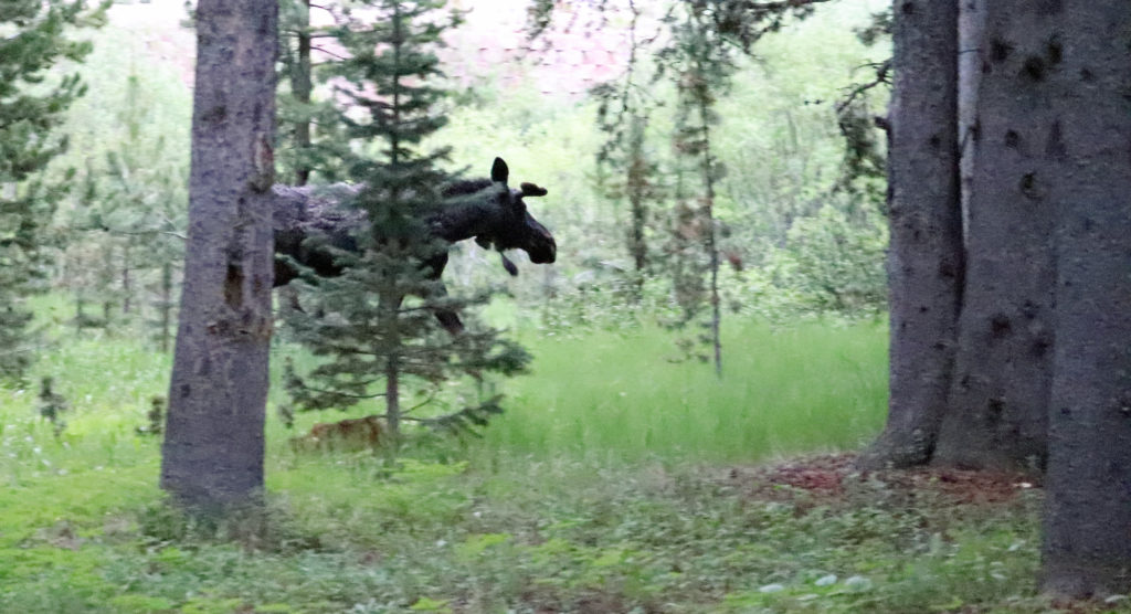
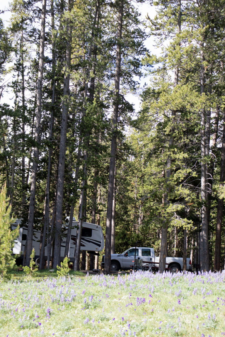
Great pics!!. Especially the waterfall and the moose in camp…would have loved to see that in person! Sawtooths are magnificent!
Bob, I’m loving this!!!
You missed your calling as a writer.
Journey on!!!
So enjoying the blog! Thank you for all the great thoughts on your adventures and the photos. I hope to see that part of the country some day. Stay safe and keep working with that lens. You’ll master it😊
Looks great out West. Enjoying photos. Nice job on sink repair!
Stay safe. Peace ☮️
Looks great out West! Nice job on sink repair.
Stay safe. Peace ☮️
High Plains Drifter comes to mind… beautiful area for sure! Thanks for sharing your journey.
Yes, it does!!
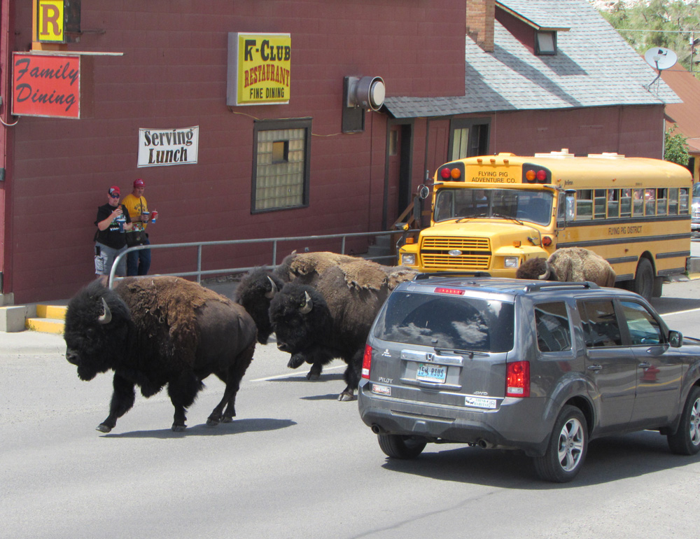
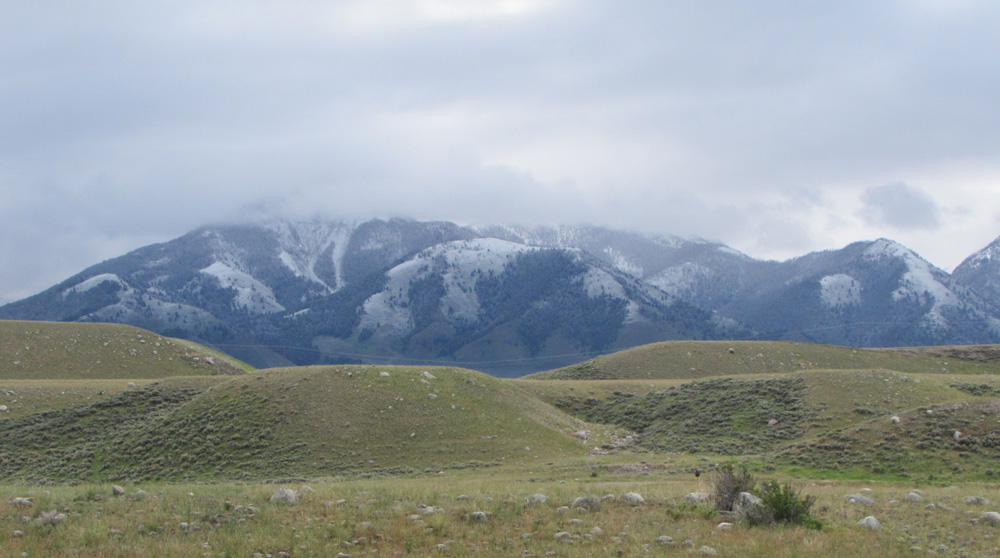
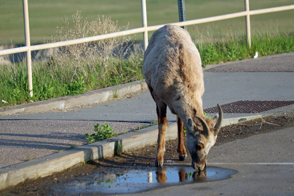
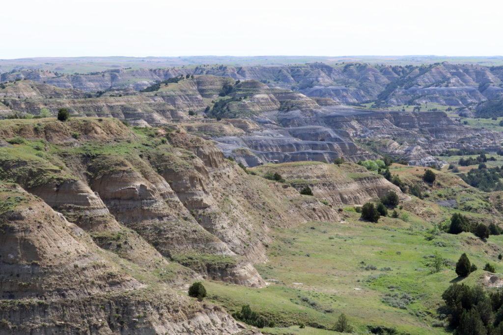
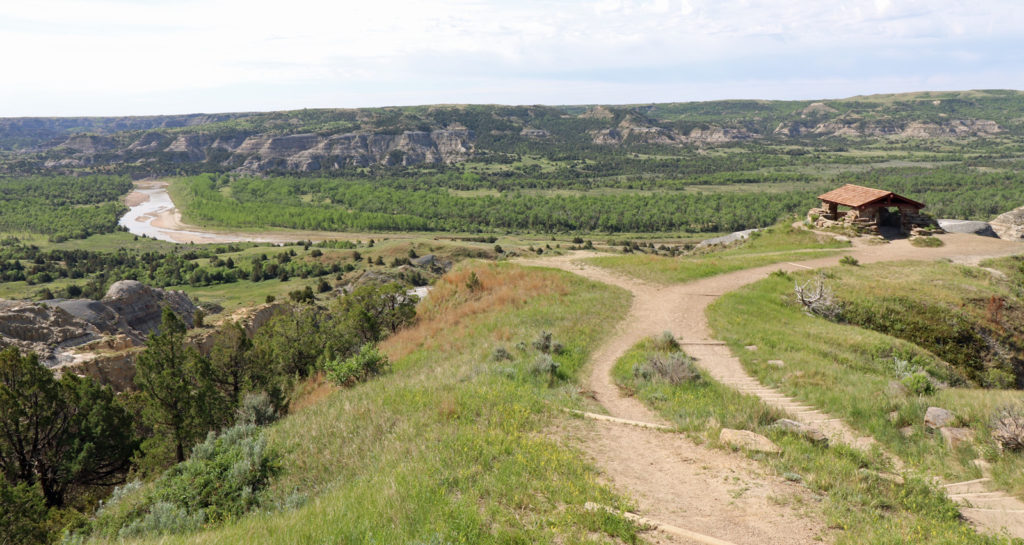
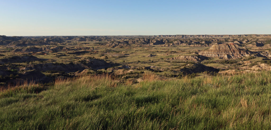
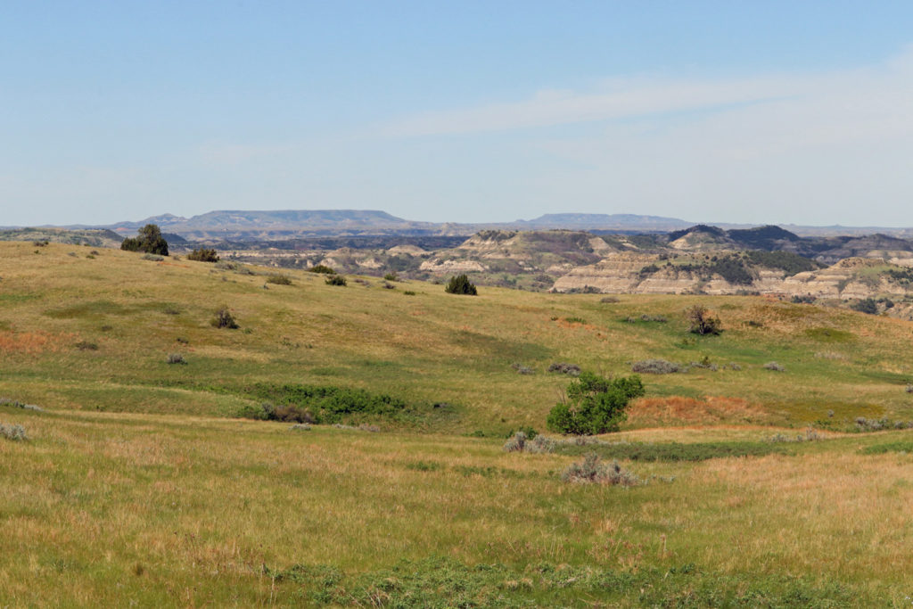
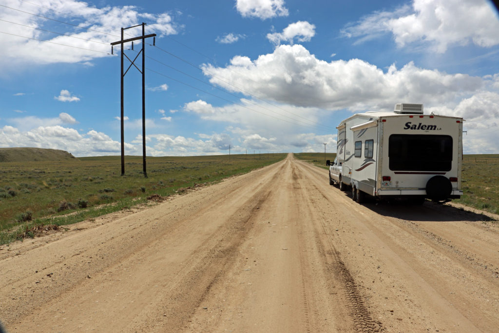
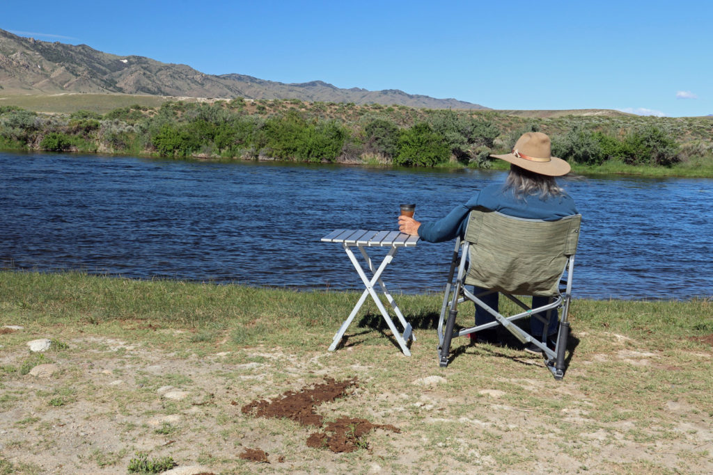
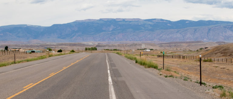
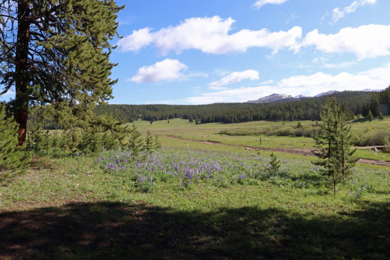
Bob. Yes, great pictures and fun narrative to be able to follow your western travels. I lived for4 years in Northern North Dakota and it was always windy. Nothing to hold it back but a barbed wire fence as they say. Not happy about the cattle in the streams – part of the problem of liberating too much of our public lands for private gain.
You are definitely having an adventure. The camera was a good idea, you are doing a good job with the pictures. Enjoying the blog.
Wind or no wind, Wyoming is beautiful country! Thanks for sharing your adventures and the great photos.
PS – the only Miracle Mile I know is on Long Island – comprised of a line of high priced retail stores anchored by Tiffanys. I only window-shopped there 🙂
Hey. We need to try out the disc golf course!
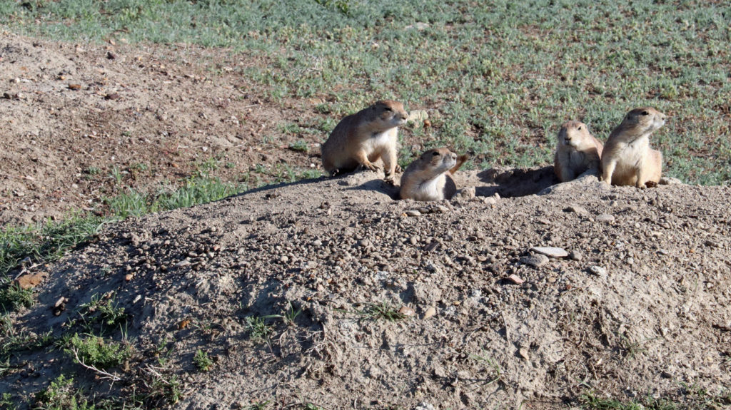
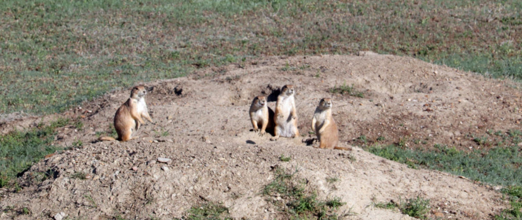
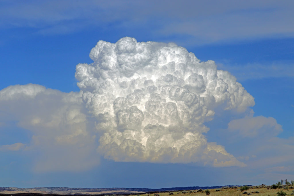
Are there lots of prairie dogs around? (Is that a silly question?) Love that you’re playing around with your photography- that cloud is amazing!
Lots and lots, referred to as “prairie dog towns.”
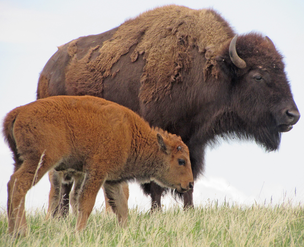
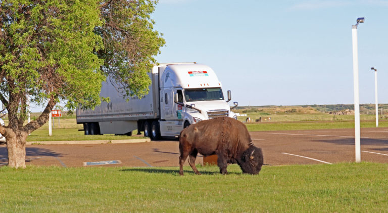
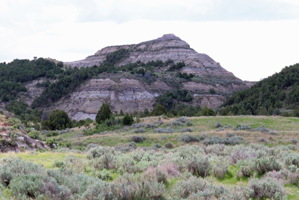
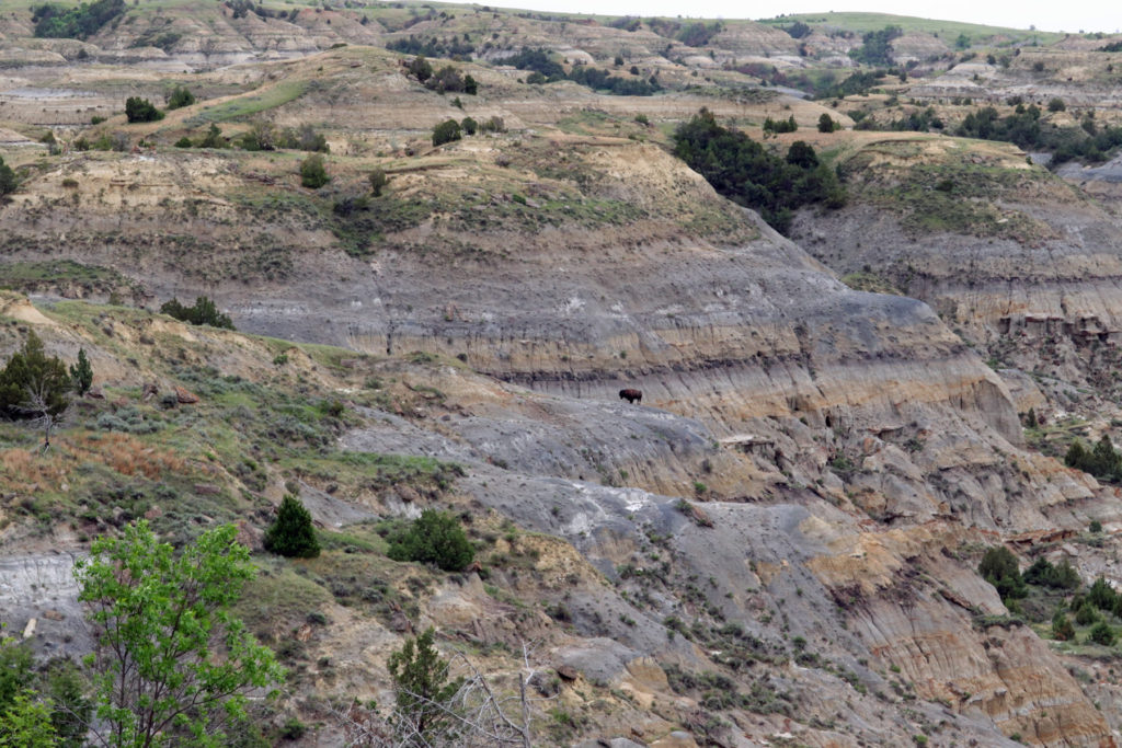
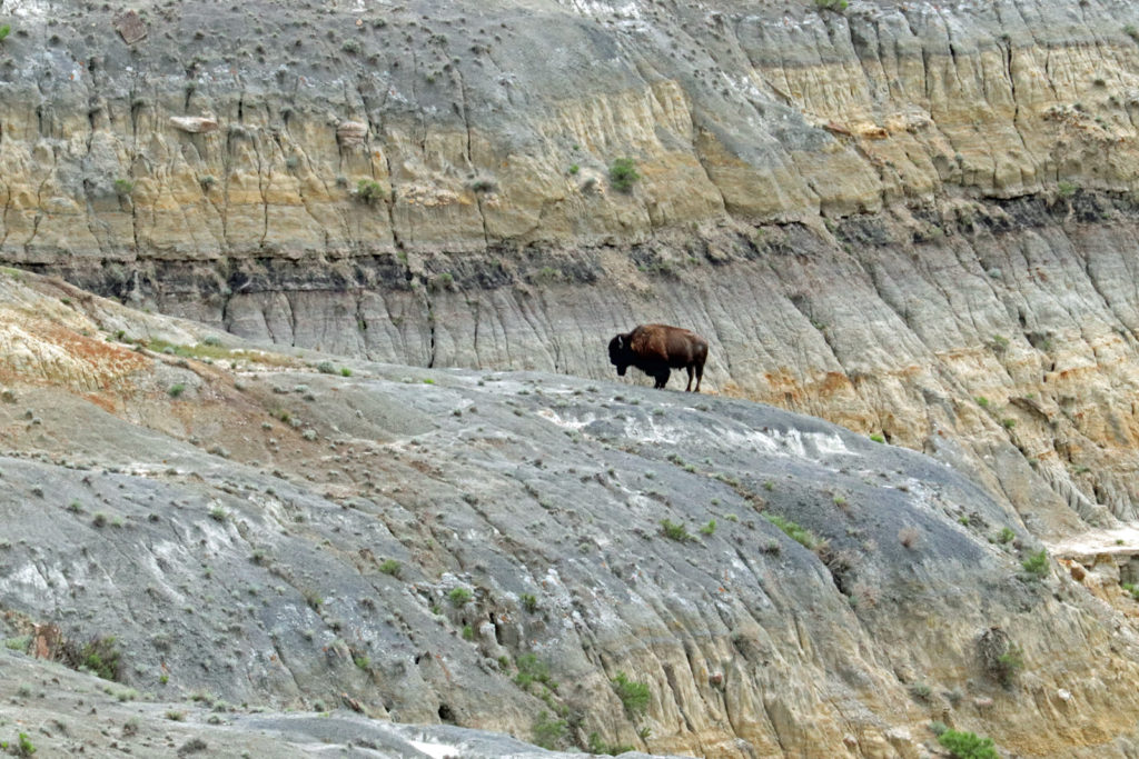
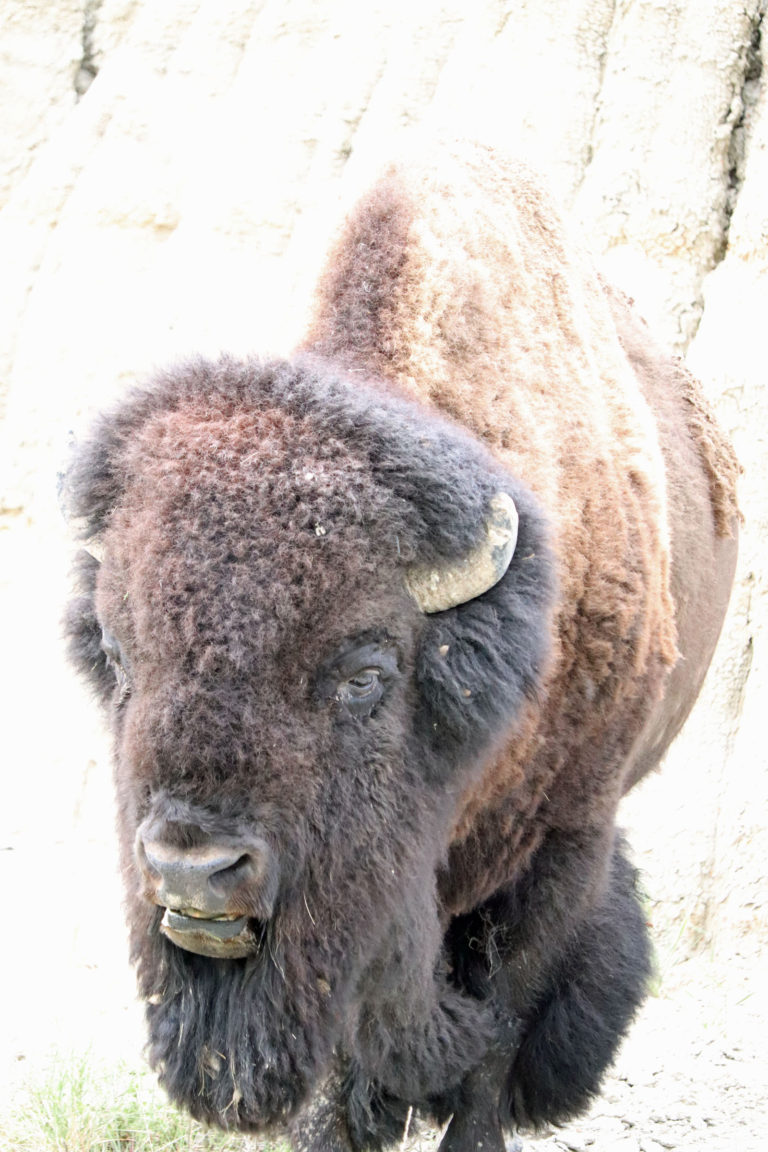
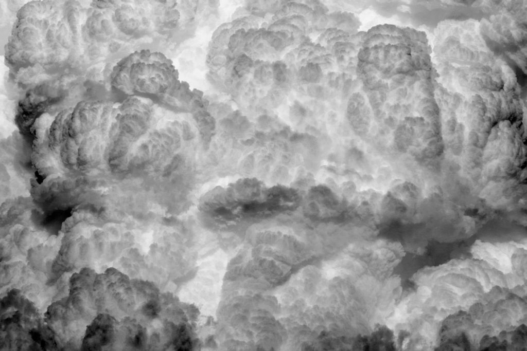
Wow! Zen buffalo, Philippine religious town, crazy lady trucker, BEAUTIFUL scenery—quite a ride so far! (Was that buffalo who was staring up at you the Mayor of the little town? Just wondering 🤔) I enjoyed seeing the people in the cloud formation. Stay safe. Peace.
Thank you for taking me on your journey.
Lorraine,
What a nice surprise!! Great to hear from you.
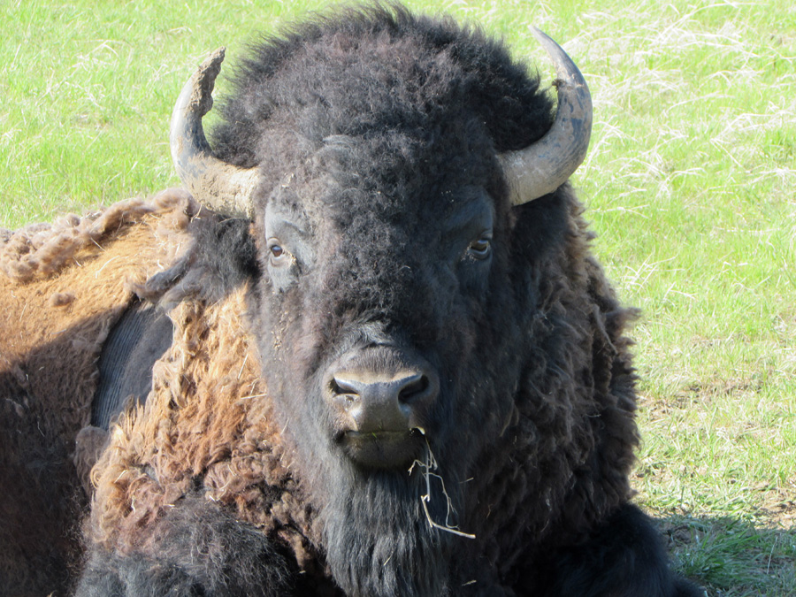
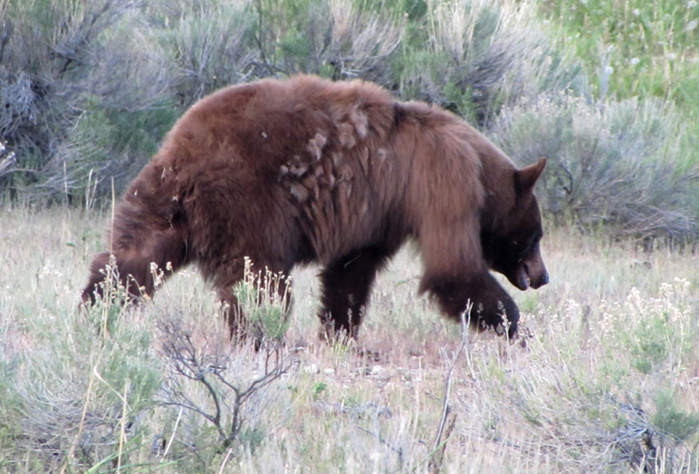
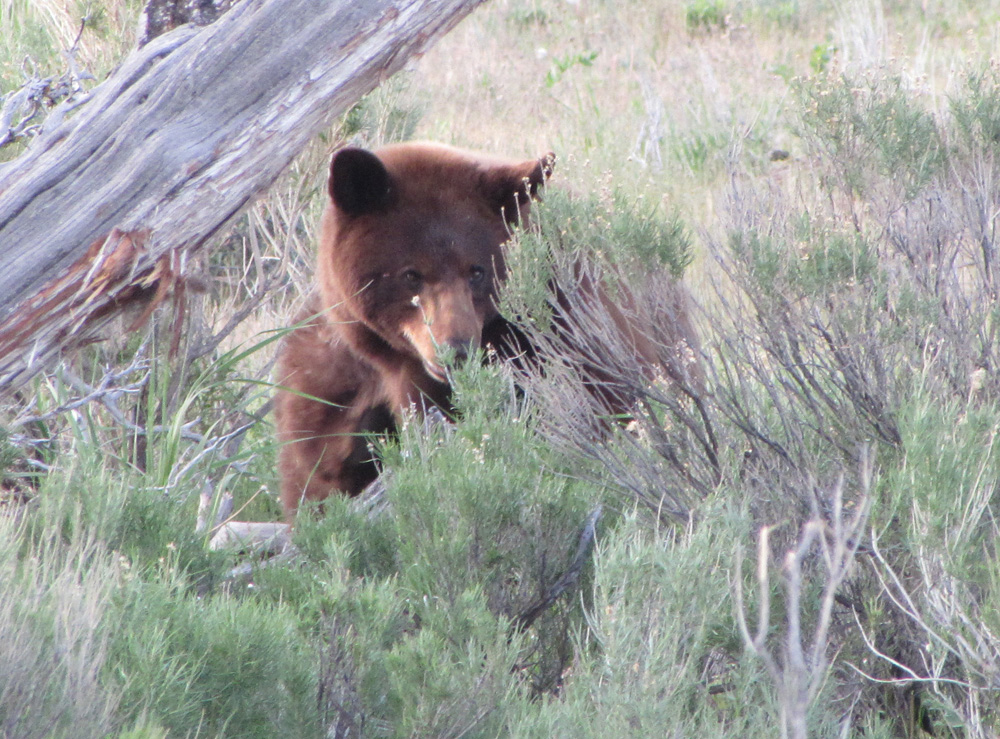
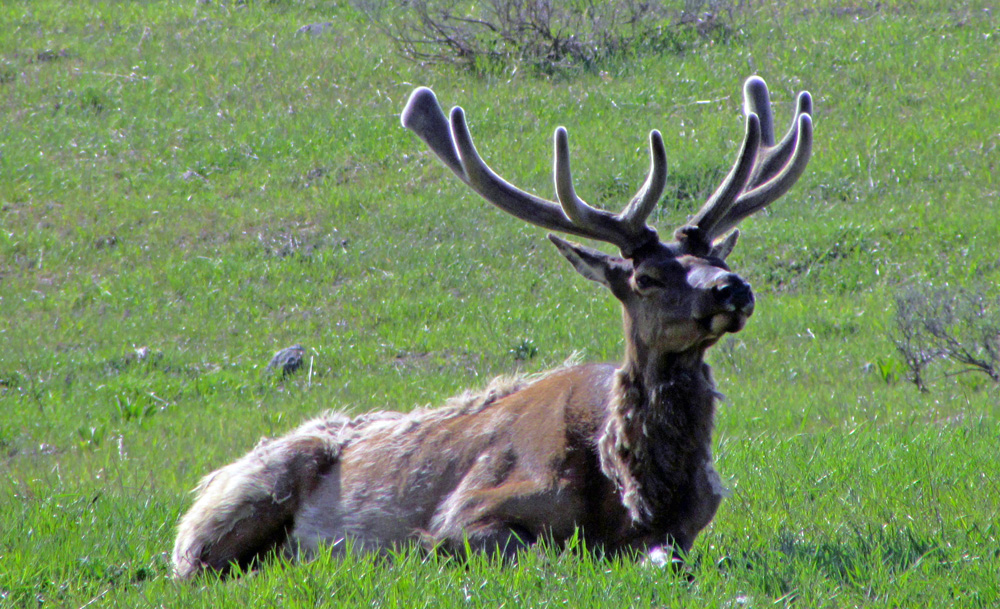
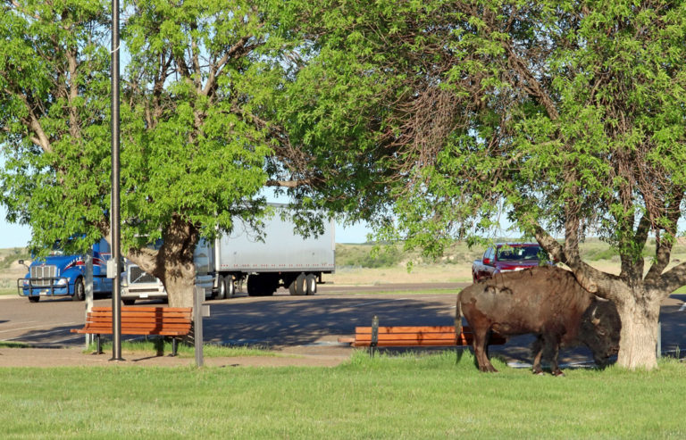
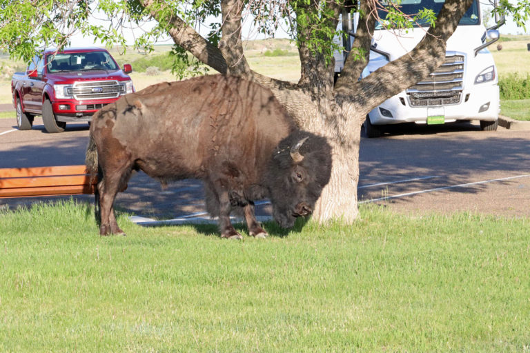
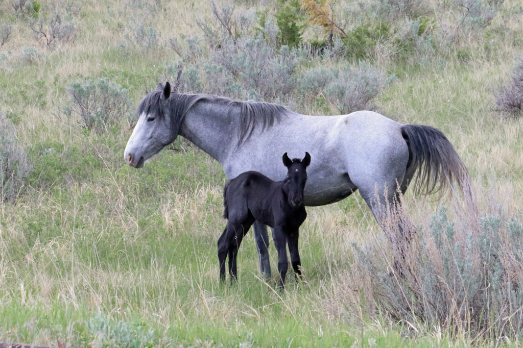
Nice pics. Love the close up of the Buff.
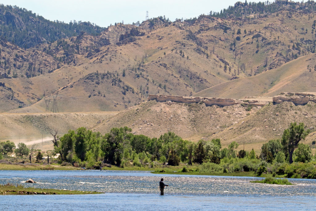
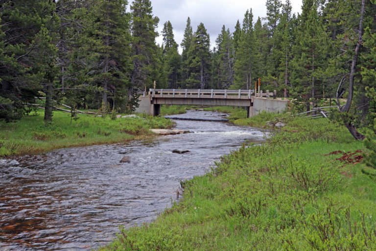
Great photos, great commentary – hopefully great fishing along the way!
PS – Don’t get too close to the buffalo.
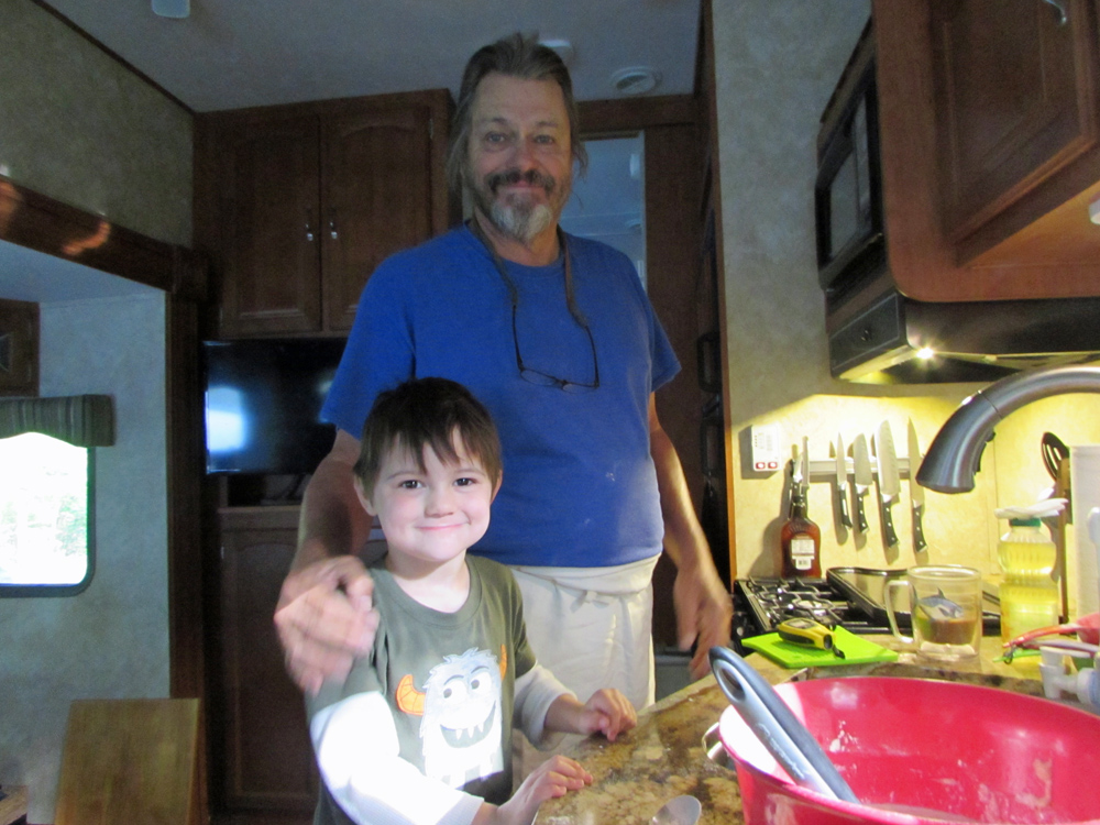
So happy you’re off adventuring and that the blog is up and running again, Dad! Looking forward to reading all about it… and watching your photography develop! Love you.
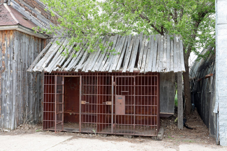
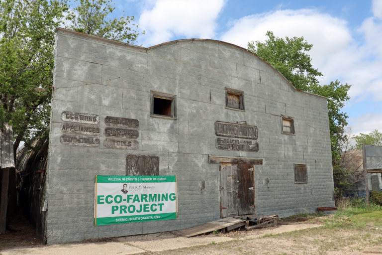
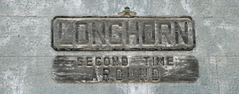
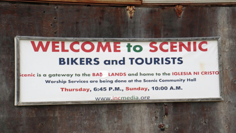
Scenic…….a very weird place! The difference between a tourist and a biker……tourists come to see; bikers come to be seen! 🤣🤣
Bob, I’m impressed! Great words, great pix and great sentiments. Thanks for sharing with us. I’ll remind Bic to get on board.
I’m loving the photos and the commentary! I’m always up for a good adventure and it looks like you have yourself one.
Monica
Fabulous pictures..camera well worth it. Tried to click on one to print out and paint but it didn’t work. Looks like a great trip! Thanks for sharing
We met after church at Southern Grill again this past Sunday Your place is reserved when you return
Have a wonderful trip! Pictures are beautiful! Andy has restored the Flannigan houseboat in the Bahamas. Last month he picked up one of his Crusader Boats. 1985 built. He hopes to take a couple trips with it. We will see
Stay in touch
Andy and Linda
Hi Linda!
Can’t believe the Flannigan houseboat is still cruising on and getting some of Andy’s love and attention. What fun!
Hope you two are well. Please send Andy my hellos!
Jes
Great photos! Living vicariously!
Bob, glad to see you’re already in S.D.
Hi Bob! Great photos. I look forward to following your travels.
cannot wait to see the new memories you will make. Bon voyage!!!!
Hey my friend. This is my 1st look into your blog. It is wonderful to see Diane and her smiling face! I pray that your trip is wonderful and refreshing.
Wayne