Post #7
Pinedale, Wyoming
July 11 to July 28

A Short Stop At Lander, Wyoming


After leaving Ten Sleep, Lander, Wyoming was my next stop for just a couple nights to do some laundry and buy groceries. Lander offers its city park as a place to boondock for a few days, complete with restrooms and access to water and within walking distance to the main commercial street.

What a kind offering to travelers.


The park’s lawn is open to tent campers, who need to be wary of the sprinklers coming on at odd hours, namely in the middle of the night. Rock climbers occupy most of the tents as there are several well-known rock climbing areas within an hour’s drive. There’s lots to see around Landers: Sinks Canyon, Popo Agie Falls, South Pass City, Fiddler’s Lake, and more. Definitely worth stopping a few days using Lander City Park as base camp.

Warren Bridge Campground Pinedale, Wyoming


After the brief stop in Lander, I proceeded to the Pinedale, Wyoming area where I intended to spend a few weeks. I opted to spend the first few nights at the BLM’s Warren Bridge Campground about 20 miles (32 kms) west of Pinedale.

Warren Bridge CG has a quite pleasant and serene atmosphere. Many nights just after dark a moose walks slowly from the river to an irrigation ditch on the opposite side of the campground.  No idea why.  The willows in each location look identical to me. (Although I am not a moose.)


The campground sits at 7500 feet (2300 meters) in the high dessert at the foot of the Wind River Mountains.
This is the view of the Wind River Mountains, about 40 miles (65 kms) away. The Wind River Mountains plateau about 10500 feet (3200 meters) with peaks over 13000 feet (4000 meters).  The mountains are laced with hundreds of miles of hiking trails.

Pinedale, Wyoming

Warren Bridge CG serves as an excellent base camp for the Pinedale area: direct access to 8 miles (13 km) of the lower Green River, 20 miles (32 km) from 18 miles (30 km) of access to the upper Green River, 5 trailheads into the Wind River Mountains within 40 miles (64 km) [Note: Out here 40 miles is quite close.] with numerous easy to moderately difficult walking trails [Actually, the guide book says “moderately difficult” but then the guide book doesn’t know how old and out-of-shape I am.], 25 miles (40 km) to the Cottonwood Area of the Bridger National Forest with 2 lovely creeks and 300 miles (480 km) of hiking trails through spruce, fir, and aspen forests, 25 miles (40 km) to the spectacular, heavily forested Hoback River Valley, 60 miles (95 km) to Jackson, Wyoming if you want to do tourist shopping, 20 miles (32 km) from Wind River Brewery with quite nice beers, and, of major importance, only 5 miles (8 km)  from yummy hand scooped ice cream at the nearest gas station. [Usually, I can get the huckleberry ice cream which makes the trip even more worthwhile.]  It would not be difficult to spend the entire summer here and not see and do all that is available. This may be the closest that I have ever come to paradise.


Pinedale (population: about 2500) seems to be a town that welcomes tourists reluctantly, accepting tourists as a necessity, not desirability, thankful that once summer leaves nearly all the tourists leave as well.  For most tourists, Pinedale stands as merely a small town 60 miles (95 km) from Jackson and Grand Teton National Park, on the way to Yellowstone National Park, a convenient place to spend one night or have lunch before continuing to or from. Most who pass through Pindale probably don’t even remember its name.
Let’s hope it stays that way.

Pinedale Roundup, Pinedale’s weekly newpaper, lists each 911 call and arrests made the previous week. Quite interesting reading.
Highlights of the week’s calls:
A woman needed a ride from Pinedale Clinic back to her hotel.
A man called to say that someone was poisoning his bushes.
A man reported that someone in a van was looking at his wife through binoculars.
A vehicle hit a deer west of Pinedale.
A RAM pickup hit a moose that was in the middle of the road.
A moose calf was stuck in a fence at Daniel Junction. (That’s where I buy my ice cream.)
Eight cows were standing on Highway 191.
A gopher bit a boy.
One steer was in the road.
A vehicle was rear-ended after it stopped for ducks in the road.

In the two weeks I read the newspaper, there one domestic violence call and 3 DUI’s.  No assaults, no burglaries, no robberies, no car thefts.


Pinedale Rodeo


I arrived in Pinedale just in time for their annual rodeo. Don’t know why I love rodeos so much. But, they are a lot of fun!!

This guy seemed to know what he was doing.  He even looks comfortable!! 

Well, at least, sort of comfortable.


This guy, quite to the contrary. I bet he is thinking: How do I gracefully get off this animal?


Not that way!!!


Sometimes the horse prefers to be on top!


Oh my!!  Head first!!  It’s going to hurt for days!!


Incredible, but this guy escaped unhurt. And the horse as well!


This young guy competed in the junior event for, I believe, 13 and younger. What an expressive face!


Not looking like this is where he wants to be.


I believe he is calling for his mother, who is yelling at his father: Are you responsible for this?
Young guy never gave up and finished the ride.
If I am ever attacked by a grizzly bear, I want this kid at my side.

The rodeo started at 7pm which limited the time that photos could be taken. But the fun continued until about 10pm that evening.

A Day To Forget

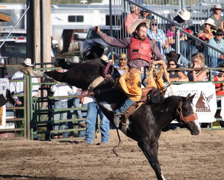
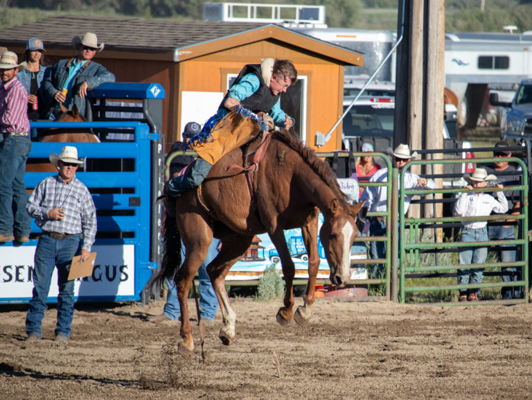
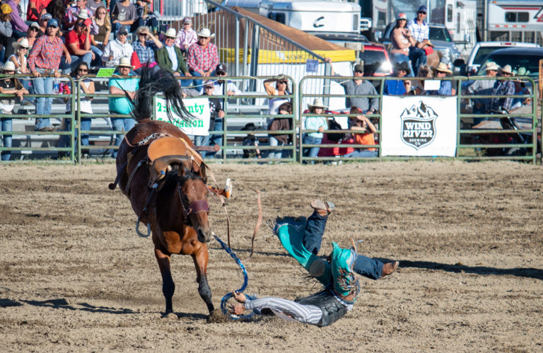
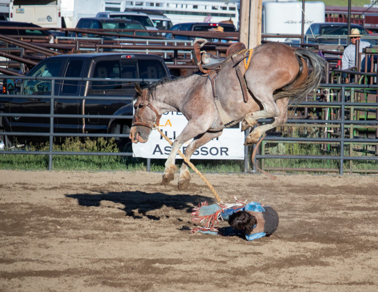
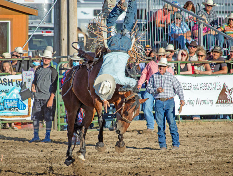
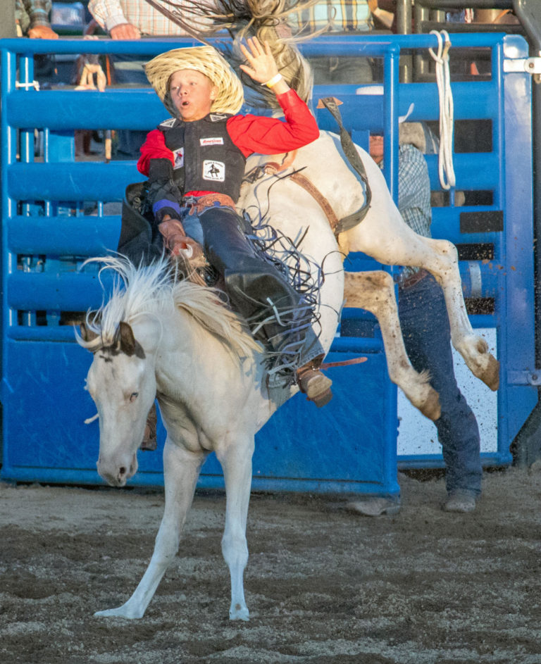
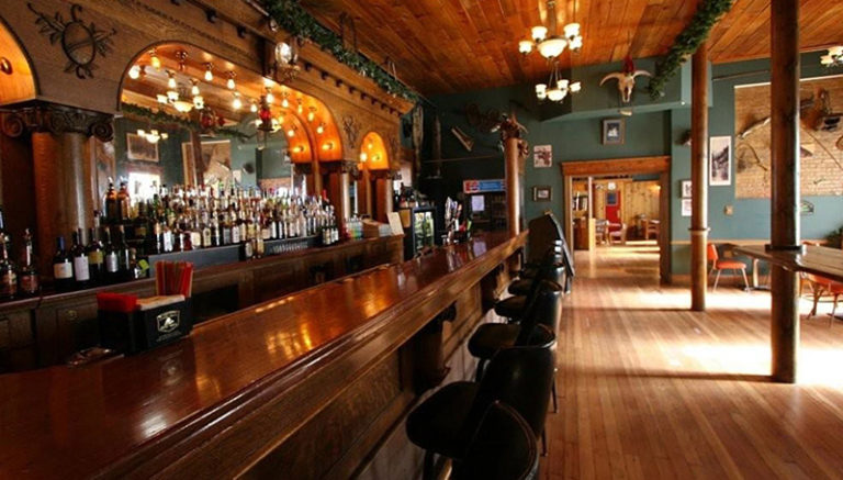
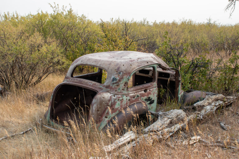
Usually, I don’t write long narratives but this particular day warrants some comment.

The following day after the rodeo, Saturday, I awoke to find that the trailer’s toilet had backed up. Because I already had my day planned to visit Jackson. Wyoming, I shrugged my shoulders and thought: I’ll worry about this later. It can’t be that bad.

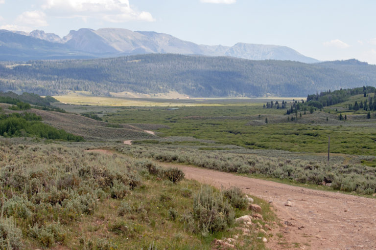
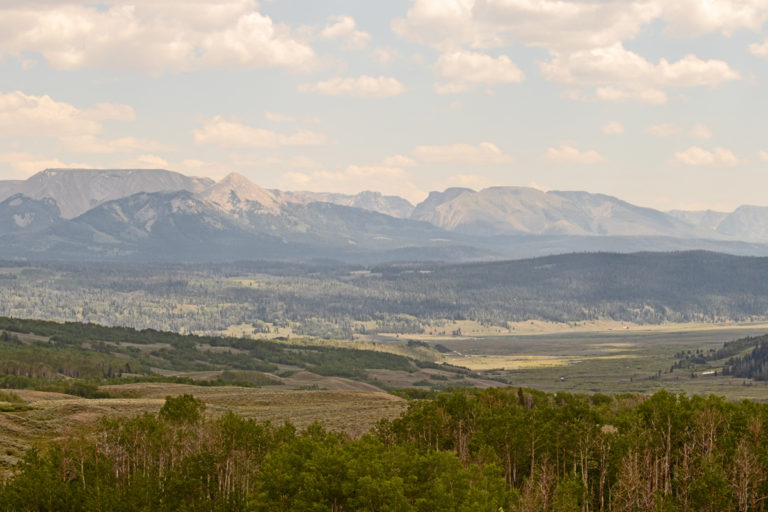
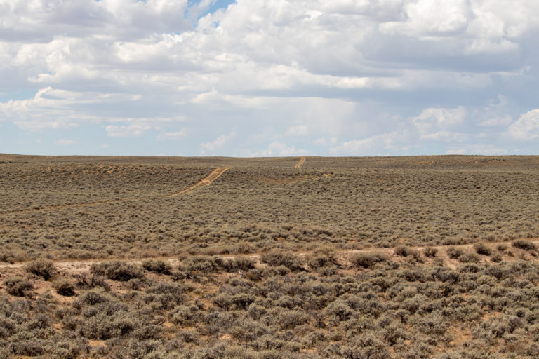
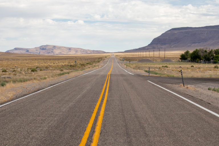
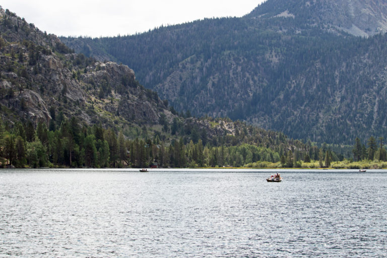
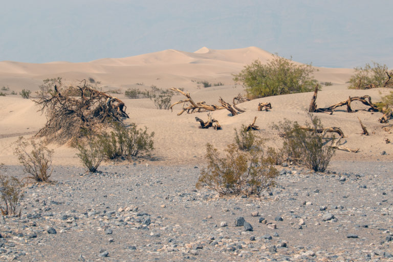
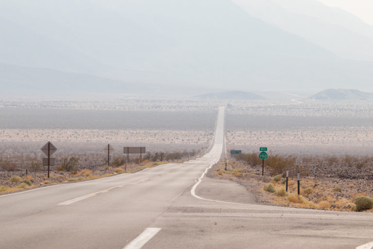
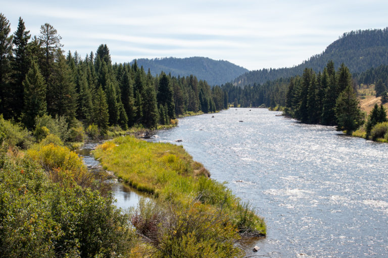
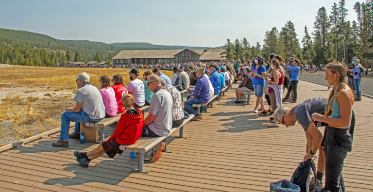
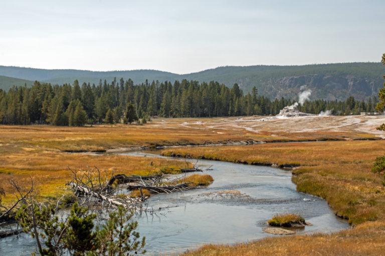
Jackson sits at the entrance to Grand Teton National Park, on the way to Yellowstone National Park.  All traffic coming from a southerly direction must pass through Jackson’s main downtown street to reach the Tetons and Yellowstone.  Having been to Jackson several times, I knew what to expect: traffic and shoppers. But with COVID-19 raging, I thought:   At least there will be fewer tourist than usual. WRONG!!  Large crowds and heavy traffic.  Much more than I had ever seen.  So, the solution was to quickly do my shopping and leave.

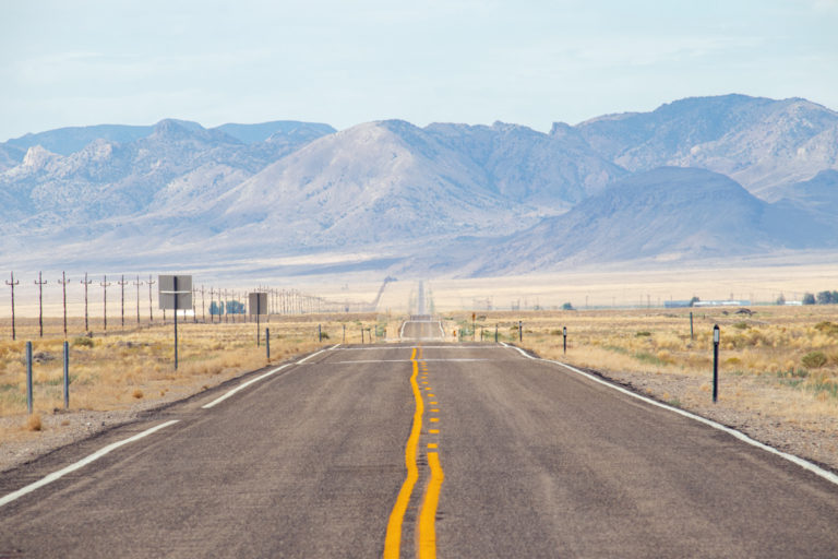
Specifically, I had come to buy a pair of Orvis wading boots, which their Internet site showed being available at the Jackson store. WRONG!!  I had just traveled 65 miles (105 km) one way for non-existent boots.

But, that’s OK.  I needed to go the library to work on the blog.  CLOSED!!

But, that’s OK.  Also, I wanted a specific Western hat for Preston, my son.  Bravely, I parked the pickup at the edge of downtown and entered the chaos. Over the years, I have purchased several Western hats from a store on the main street. Off I went until: Out of business!!  Phooey!!

Oh well. Certainly I could find another Western hat store, which I did just a block away.  As I walked in the front door, I saw the hat I was looking for immediately in front of me. But, they didn’t have Preston’s size. Good grief!!!

Since I was already in this melee of tourists scampering from one store to another, I decided to look for boots at a well-know fly shop, only to find out that they no longer sold wading boots.  I guess selling expensive fly rods should be more profitable. Rats!!

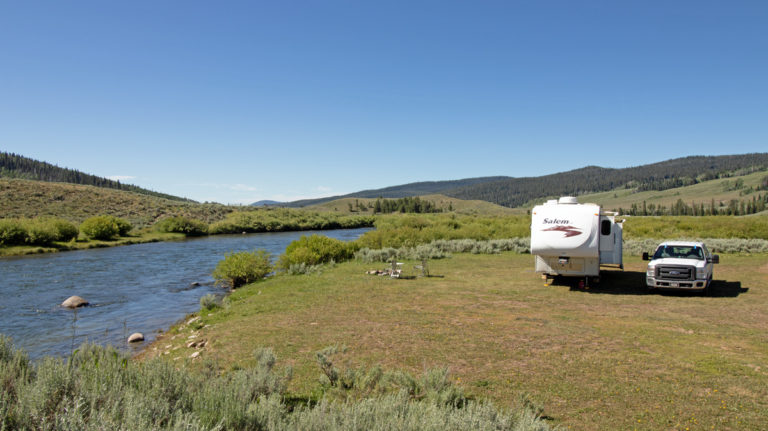
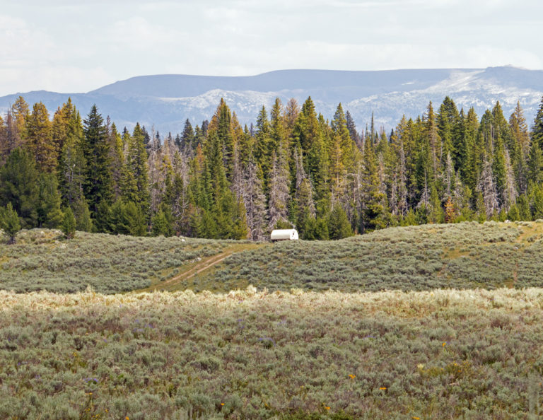
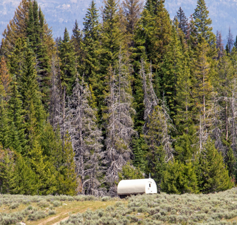
Finally, I stocked up on groceries at the Albertson’s supermarket, and fled back to my the comfort of my little trailer. Except, of course, it still had a clogged :”black water” waste tank. Hmm!

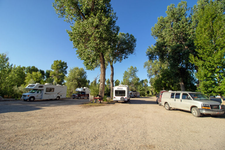
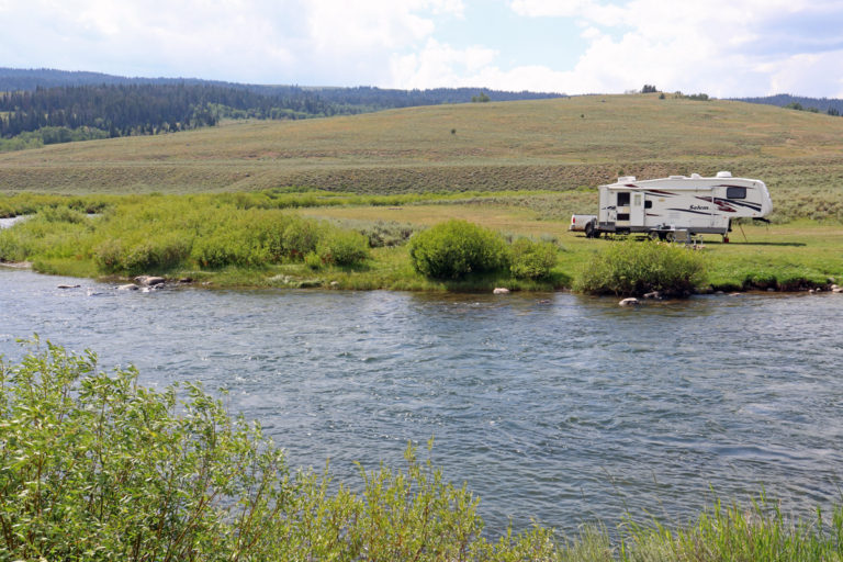
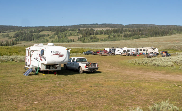
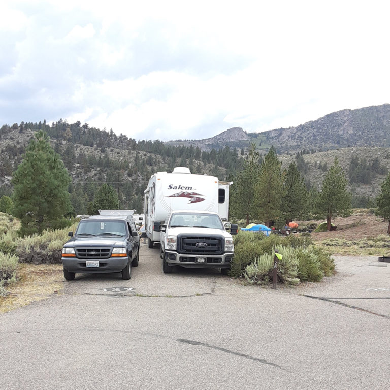
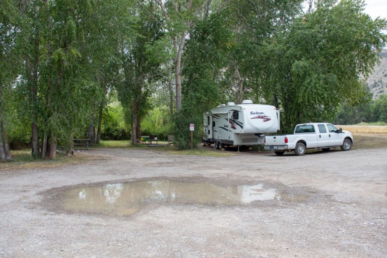
Luckily, the campground has a dump station to dump both “grey” water (waste water from the sink and shower) and “black” water (sewage from the toilet). After towing my trailer to the dump station, I worked diligently using various techniques to unclog the damn thing.  Finally, I decided I needed a plumber’s snake to get the job done.

So, I towed the trailer back to the campsite, unhooked, and drove a 40 mile (65 km) round trip to buy a plumber’s snake.  As I came out of the hardware store, I noticed that the pickup’s windshield had cracked.  Of course the crack was located right in front of the driver’s position. Good grief!!

Back at camp, I hooked the trailer back up and returned to the dump station.  As a plumber’s son, I believe that I have certain innate talents with sewage blockages.  A simple blockage in a trailer.  What could be simpler.  After about 30 minutes of constant cursing effort, the toilet tank decided it was time to give up, and the clog broke loose.  Fortunately, slowly and not suddenly.

A day to forget, for sure!!!


Upper Green River


After a couple days at Warren Bridge Campground, I headed for the upper portion of the Green River to boondock for a while. While just 20 miles (32 kms) from Warren Bridge and 1000 feet (300 meters) higher, the area has a completely different landscape, now in the foothills of the Wind River Mountains.

With good fortune on my side, I found a campsite right along side the Green River.


I stayed for over two weeks: fishing, walking, lazing, driving about on the dirt roads. Generally, partaking in the simple pleasures of camping, such as, appreciating firewood that actually burns and not just smokes, chilly mornings that soon dissipate with the rising sun, reading by the campfire into the late night, unsuccessfully coaxing the groundhogs to come nearer, listening to a nearby coyote howl, a short morning stroll with my first cup of coffee.

Experiencing what a long-time friend and yoga instructor referred to as “total relax.”
Absolutely, total relax.


And rainbows.

Twice during my stay, as the rain clouds passed by, a double rainbow appeared. If you look carefully you can see the second rainbow above the more obvious one.


A bit clearer here thanks to “post-processing”.


Quite unexpected treat!!!


What a spectacular spot!!!

To fish, I just walked out my front door (actually, my only door).

Fishing was good, but could have been better. I would fish in the evenings, catching fish nearly every day BUT other people were catching bigger fish. Not supposed to be that way.


The pictures above were taken on Thursday morning. This is what it looked like by Friday evening.


I hadn’t realized what a popular area this is for people from Wyoming and nearby Idaho. And everyone has an ATV, or maybe two!!

The group in the background consisted of 3 large fifth wheels and 7 ATVs celebrating a 2 day bachelor’s party.  In fact, they were good neighbors, surprisingly quiet, and left me a large stack of firewood. That counts for a lot!


With so many RVs occupying available spaces, I shared my campsite for the night with a family from Oklahoma. They fed me burritos for breakfast and a steak for dinner.  How gracious!!   With the family camped next to me I had to talk, carrying on a normal conversation, which I hadn’t done for the 2 months I had been traveling alone.  It was more of a challenge than I had expected.

At any rate, a delightful family and I am so pleased that they stopped by.   A real unexpected pleasure.


By Sunday afternoon, everyone had left and I was alone again except for a lonely pickup and boat trailer waiting for someone to come take them away.


Several drift boats would launch along side my campsite each day, some with commercial guides (as above) but most were just friends and families out for a day on the river.


A small herd of antelope grazed nearby but consistently turned away whenever I pulled out my camera.  Not sure that I was meant to be a photographer!

Green Lakes


About 18 miles above my campsite lie the Green Lakes, Upper and Lower, the headwaters of the Green River, a major tributary of the Colorado River. This is Lower Green Lake.


One of the most sought after photos in the Rockies is Squaretop Mountain’s reflection on the lake’s surface. The two times I walked back to the end of the lake didn’t pay off. Once, the wind blew so hard that the surface was rippled, and the second time the haze interfered with the reflection. I guess that gives me a reason to return.


Rather imposing!


These old log cabins, located just below the outlet of Lower Green Lake,  are referred to as the “Old Osborn” cabins.  The only remnants of an early 1900’s homestead.


The occupants certainly had a lovely view.


Even the outhouse had a spectacular view.


A group out for a horseback ride came by. This is an area where outfitters will take all your stuff up to an alpine lake and dump you off for a week or so, completely outfitted with tent, sleeping gear, cooking gear, food, etc. Interested?  I spoke to one guy who did that in October. 10 inches (25 cm) of snow the first night. Oops!  Maybe August or September would be better.

Buffalo Meadow


A Forest Ranger stopped by to let me know that a grizzly bear had killed a calf near Buffalo Meadow, about 10 miles (16 km) from camp, advising that if I was going to be in that area hiking or fishing to be sure to carry bear spray. I have seen numerous grizzly bears but only in national parks. So, I thought I would take a look.

The national forest road that led out of the valley was in good condition, just a bit rocky in places.


The road ascended rapidly, providing lovely views of the valley below. The Green River and my camp are somewhere down there.


I found Buffalo Meadow and the cattle herd, spread out over a large area, without problem but no bears or any sign of bears.


But, I did find a sheepherder’s wagon, just like the one for sale near Shell, WY. (See Post #5)

I’m sure that few people believed me when I mentioned that these wagons are still being used.


Well, here you are! 

At about 9500 feet (2900 meters) on National Forest land leased for cattle or sheep grazing for the summer.


I didn’t think that I would be welcome if I knocked on the door.  After losing a calf to the grizzly, this poor cattle herder will have to be up all night protecting his cattle, and sleeping during the day.


After a couple weeks on the Upper Green River, it was time to go back to Warren Bridge Campground as a base camp to explore other nearby areas.  However, I certainly intend to return, if not this trip, then the next.

Post #8
Pinedale, Wyoming And A Detour to San Diego, California
July 29 To August 23

Big Sandy And The Oregon Trail

After a couple days at Warren Bridge Campground doing household chores (that translates to cleaning the trailer, trailer maintenance,  and doing laundry), I decided to go to the Big Sandy Trailhead for a walk to Big Sandy Lake and some fishing.  The Trailhead lies about 30 miles from the nearest paved road.  So, I assumed the area would not be crowded.  Wrong!!  About 200 cars filled the parking area and overflowed into nearby meadows.  I gave up on the idea of the walk.

Instead, I fished the Big Sandy Creek but didn’t catch anything. 
The trip was not wasted as the area is quite lovely, with expansive meadows and the Wind River Mountains in the background.
Later I learned that the Big Sandy Trailhead is the entry point for Cirque of the Towers, a well-known rock climbing site which had recently been reported in Outside magazine.  That’s why so many people were there.

A family of grouse strolled by as I was fishing, unconcerned that I was nearby.

The Oregon Trail passes nearby.  Reportedly, about 400,000 emigrants passed to the West on the Oregon Trail.

The Lander Cutoff, shown here, reputedly was the firs federally funded road west of the Mississippi.  Opened in 1859, the Lander Cutoff saved about 7 days of travel time, eliminated an expensive ferry crossing, and several river crossings. 


The Lander Cutoff crossed the New Fork River about 30 miles south of Pinedale.

Known as “Parting of the Ways,” the Oregon Trail in the foreground, going left to right, continues to Oregon while the California Trail, going toward the horizon, leads to Utah and California.
An estimated 40,000 emigrants passed this spot at the peak in 1852.

New Fork River and North Cottonwood Creek

I fished several rivers and creeks while staying at Warren Campground.
The New Fork River, shown here, stands out as my favorite.  Big trout, easy to wade, and easy access.  Not as pretty as other streams but the trout make up for it.


North Cottonwood Creek in the Wyoming Range, about 30 miles southwest of Pindedale, runs through this magnificent location of alpine mountains and heavy forests.

The creek holds brown trout as well as cutthroat trout.  I had seen a YouTube video of a guy catching a 14 inch brown trout in this small, mountain stream so I had to fish here.
I caught nothing at all (but I did see a marten for the first time).  I’ll be back!!

A 2400 Mile Detour To California

Janice, my sister who lives in San Diego, California, and I had arranged to camp together at June Lake, California, just east of Yosemite National Park,  along with Richard, her husband, and Linda, her daughter.  The day before I was scheduled to leave, I got word that Richard had taken a nasty fall requiring 26 stitches in his little finger (How do you put 26 stitches in someone’s little finger?) and wouldn’t be able to travel.
Linda and I would camp a couple days at June Lake and then go down to San Diego to visit Janice and Richard.  Round trip:  2400 miles or 3850 kilometers.

The route took me through Salt Lake City, Utah across the salt flats to the west, probably the most desolate landscape I have ever seen.


Yet, despite the 110 degree (43C) temperature and the even hotter heat glaring off the salt flats, people were outside apparently enjoying themselves.
This group assembled at a rest stop on I-80.  I am not sure why.  The ladies all wore bathing suits, but I couldn’t see any water.

Occasionally, a car would drive out onto the salt flats and just stop while the occupants got out.
I wondered if there might not be car races later in the day, but I will never know!!  Quite strange.


After crossing Utah, the route turned south across the Nevada desert, a more traditional dry sagebrush.
The road goes straight, in the literal sense, across the desert

and, then, continues straight across the desert,

and, then, continues straight across the desert.  It’s not a monotonous as it seems.  Actually, I enjoyed crossing this desert enough that I came this same route on my back.  But I could not help but wonder several times:  Why would someone choose to live out here?

This building had a sign announcing that it is the “Community Hall.”  The principal problem with that claim is that there is no apparent “community.”  The only houses nearby were a couple ranch houses scattered several miles apart.  Quite strange!!

At June Lake, Linda and I had a snug but very pleasant campsite. Plus, I got to see Linda again after 3 years.

The day after our arrival, we did some sightseeing, visiting the various nearby lakes.  The area is quite lovely with alpine lakes scattering in the forested mountains.

That evening as we were getting ready to cook dinner on the campfire, a tremendous thunderstorm came through the campground.  The winds knocked down over half of the tents in the campground.
Linda and I  scrambled to get her tent down and camping equipment put away before everything blew away.  Some stuff hurriedly went into the trailer and the rest into the back of her pickup, leaving a mess in both places.
The lightening from the thunderstorm started a sagebrush fire a few miles away.  We were unsure for a hour or so if the fire was heading for us.  Finally, the glow faded as the fire went off in the opposite direction.  Good luck!
With Linda’s camping stuff in complete disarray, we decided to forego our last day of camping and head for Janice and Richard’s home in San Diego the following morning.
Those bits of light in the foreground is our campfire.

After several days visiting with Janice, Richard, and Linda, it was time to head for Montana.
I had planned a route to minimize the heat but when I saw a road sign indicating to turn left for Death Valley, I couldn’t resist.  I turned left.
Death Valley had set a record temperature of 134 degrees (56.6) a few days earlier, and I was curious what that might feel like.

The day I crossed Death Valley the temperature was only 121 degrees (49.4C).  A disapointment but still the hottest weather I have ever been in.
Signs had been placed in numerous places warning visitors not to walk into the desert and reminding everyone that extreme heat kills people.  The signs were not subtle.

Death Valley seems to be an appropriate name.

How does anything manage to grow with just sand and heat?

Smoke from the numerous California wildfires covered Death Valley.
This area lies at 190 feet (58 meters) below sea level.

As I passed through Beatty, Nevada on the eastern edge of Death Valley, this wild burro  was standing at the side of the main road through town.

When the light changed and the traffic had stopped, the burro meandered across the road.
The destination was a green lawn at a the side of a house about a block away.  In all,  four wild burros were in town to graze on luscious green lawns.
The burros form part of numerous wild burros living on the surrounding federal government land.  These four were the smart ones to figure out grazing on green lawn is better than grazing on dry sagebrush.


Tonapah Brewery
Tonapah, Nevada

When I was ready to stop for the night near Tonapah, Nevada the temperature had dropped to 110 degrees (43C).  Fortunately, Tonapah has a brewery which was a welcome site.

Right across the street is a city parking lot for RV’s.  That’s more than just ordinary good fortune!  It’s exceptional good fortune.
I had a couple nice beers, nothing special but very drinkable and welcome.  A big surprise was that the brewery has a smoker.  The burnt ends were outstanding.  A pleasant end to the day.
The next day I headed back across the Nevada desert where I planned to take more (and better) photos.  But, the smoke from the California wildfires created a dense haze for hundreds of miles.
So, I headed straight for Dillon, Montana to rest from a tiring drive and do some sightseeing and fishing.

Post #9
Dillon Montana, Madison River, and Yellowstone National Park
August 24 to September 20

This has been a totally lazy month:  a bit of sightseeing, quite a bit of fishing, a lot of reading, and just plain loafing.  I spent more time in camp than usual but it ended up being quite relaxing.

Dillion, Montana Area

Barrett’s Park lies about 5 miles (8 km) outside of Dillon, Montana.  Owned by the Bureau of Reclamation, the park has only two campsites.  Otherwise, parking along a grassy area at the edge of the parking lot provides camping spots.  Local residents make heavy use of the picnic area.  So, constant activity abounds.  The price is quite attractive:  free!!


The railroad track runs about 150 feet (50 meters) from the campsite.   Just beyond the railroad tracks runs I-15, the major north-south highway.
Actually, it’s a minor inconvenience as I-15 has little traffic at night and only one train a day comes by, which is fun to watch.

 A boat ramp, porviding access to the Beaverhead River, is located on the opposite side of the campsite from the railroad tracks.  Used for both drift boats and tubers, the ramp adds a lot of activity to the area.
Dianne and I camped here twice and loved it.  But, I am not sure why!!  The park definitely has some sort of weird attraction.


Dillon has an authentic, rather than touristy, small town feel. 
The old train depot houses a museum.

The 42 room Hotel Metlen dates from 1897.

The hotel boasts 2 saloons and several poker tables.  AND it’s for sale.  Don’t miss this opportunity!!!

Many older buildings remain in use, adding to the town’s charm.

The ubiquitous county courthouse, always an imposing building in small towns across the country.

This is my third visit to Dillon which boasts an excellent brewery.  Maybe that’s why I keep coming back. 

I always grab a burrito or a plate of enchiladas here at the Mexican food bus, then head over to the brewery for a tasty lunch with a lovely beer.  Heaven!!

Collidge, Montana Ghost Town

About 70 miles (115 km) from Dillon, the “ghost town” of Coolidge attracts a steady stream of visitors. 
The route passes through the Pioneer Mountains along the Wise River flowing though some spectacular scenery.


I didn’t have a chance to fish the Wise River.  So, now I have a reason to return.

From about 1914 to 1923 Coolidge was an active silver mining operation owned by the Boston Montana Mining Company. 
The town reached a population of 350 and touted a school, post office, electricity, and telephone.  However, by 1925 the town had been nearly abandoned.
The cabin shown here definitely was among the better built.

Abandoned nearly a century ago, some of the cabins are in remarkably good condition.

But most have suffered the fate of this cabin.

And this one.

A very sturdy outhouse.

Madison River Valley Area

Not having much success fishing the Beaverhead River or the nearby Big Hole River, I decided to depart for the Madison River, about 125 miles (200 km) away.
The Madison River probably ranks as the most widely known trout stream in the United States.
The fly shop literature advertised “beautiful scenery with exceptional trout fishing” which comes close to the truth.  More accurate would be:  Beautiful scenery all the time with exceptional trout fishing some of the time.
In  my case, mediocre fishing in beautiful scenery.  And not just me this time.  Every fisher person I spoke with wasn’t catching much.  But it’s hard to complain when fishing in such a magnificent location.

The campground was huge with only 25 campsites, generally with only 4 or 5 occupied.  That’s my trailer at the far end of the campground.   In the 2 weeks I spent here, I never had anyone camp next to me.  I think the Florida license plates scared them off.

My campsite was located on a bluff overlooking the Madison River.  What a great location for morning coffee and evening drinks!
That white stuff on the grounds looks like snow.


And that’s what it is!!  In early September, the first sign of winter.  The snow lasted until the afternoon, followed by several days of late summer heat.  Just a warning of what is to come. 
This campground will close September 30.  The campground host says that my the end of October the campground will be covered with snow lasting until spring.  I’m not sticking around to confirm if that is true or not.

Old Faithful In Yellowstone National Park

The western entrance to Yellowstone National Park lies only 25 miles (40 km) from the campground.  Despite knowing that the park was experiencing higher than normal crowds, I decided to take a chance.  The reports were accurate:  very large crowds, overflowed parking lots, and backed up traffic.  Stopping to see the sights along the road to the Old Faithful area became impossible without much more patience than I have.  I resolved to visit the Old Faithful area, then return to camp.

I’m not sure how many people were there to see Old Faithful but this photo shows only about half.  The spectators stretch to the very end of the buildings.

Old Faithful performed on schedule providing an admirable show.

And impressed just as much from from the back side.


The photos below show some of the gesyers and pools near Old Faithful as well as the renowned Firehole River in the lower right.


Abandoned Mines

The Wall Creek Wildlife Management Area is only about a 30 minute drive, so I went off looking for some wildlife. 
I didn’t find any wildlife, not even the ubiquitous deer, but I did come across a couple old mining sites on the nearby National Forest land.
This curious structure covers a mine shaft.


The quartz used to construct the building presumably came from the digging the shaft.


That’s the shaft in the floor.  Looking down, it branches into 3 separate tunnels.  I didn’t risk going down.

A second nearby site looked more recent with remmants of electrical power supply.

While I couldn’t find any information about these specific claims, I did find that this National Forest holds over 400 abandoned mining claims, principally silver and gold mined in quartz veins. 


The work shed had a small smelter as well as an electrical water heater and electric cooking stove.

This shaft had collapsed or had been closed off.

This shaft entrance had been filled with wood debris.

The abandoned car carcass has been the favorite target of hunters over the years.

You have to wonder what life would have been like for the miners.  No such thing a slipping into town for a beer.  No town. And no beer.

West Madison River

The West Madison River joins the Madison River near the campground.  I enjoyed fishing this stream as much as the Madison River.

Even at the low flow of late summer, some large trout hang out in the deeper pools.  A forest road provides several miles of easy access.  Delightful!!

From the Madison River I am heading for Craters of the Moon National Monument in Idaho, about 220 miles (350 km) away.  A couple friends have recommended it as a very interesting place.  So, it’s time to go.  As reluctant as I am to leave the Madison Valley, fall with its cold weather fast approaches.  And I want to see a few more areas before winter sets in.